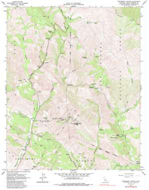
Tepusquet Canyon Topo Map California
To zoom in, hover over the map of Tepusquet Canyon
USGS Topo Quad 34120h2 - 1:24,000 scale
| Topo Map Name: | Tepusquet Canyon |
| USGS Topo Quad ID: | 34120h2 |
| Print Size: | ca. 21 1/4" wide x 27" high |
| Southeast Coordinates: | 34.875° N latitude / 120.125° W longitude |
| Map Center Coordinates: | 34.9375° N latitude / 120.1875° W longitude |
| U.S. State: | CA |
| Filename: | o34120h2.jpg |
| Download Map JPG Image: | Tepusquet Canyon topo map 1:24,000 scale |
| Map Type: | Topographic |
| Topo Series: | 7.5´ |
| Map Scale: | 1:24,000 |
| Source of Map Images: | United States Geological Survey (USGS) |
| Alternate Map Versions: |
Tepusquet Canyon CA 1964, updated 1965 Download PDF Buy paper map Tepusquet Canyon CA 1964, updated 1986 Download PDF Buy paper map Tepusquet Canyon CA 1995, updated 2000 Download PDF Buy paper map Tepusquet Canyon CA 2012 Download PDF Buy paper map Tepusquet Canyon CA 2015 Download PDF Buy paper map |
| FStopo: | US Forest Service topo Tepusquet Canyon is available: Download FStopo PDF Download FStopo TIF |
1:24,000 Topo Quads surrounding Tepusquet Canyon
> Back to 34120e1 at 1:100,000 scale
> Back to 34120a1 at 1:250,000 scale
> Back to U.S. Topo Maps home
Tepusquet Canyon topo map: Gazetteer
Tepusquet Canyon: Ridges
Buckhorn Ridge elevation 735m 2411′Tepusquet Canyon: Springs
Barrel Springs elevation 371m 1217′Cherokee Spring elevation 422m 1384′
Cigarette Spring elevation 589m 1932′
Difficult Spring elevation 449m 1473′
Peach Tree Spring elevation 755m 2477′
Tepusquet Canyon: Streams
North Fork La Brea Creek elevation 266m 872′Oak Valley Creek elevation 266m 872′
South Fork La Brea Creek elevation 266m 872′
Tepusquet Canyon: Summits
Tepusquet Peak elevation 982m 3221′Tepusquet Canyon: Valleys
Bear Canyon elevation 322m 1056′Colson Canyon elevation 273m 895′
Hudson Canyon elevation 244m 800′
Rattlesnake Canyon elevation 313m 1026′
Ruiz Canyon elevation 264m 866′
Suey Canyon elevation 372m 1220′
Tyler Canyon elevation 419m 1374′
Tepusquet Canyon digital topo map on disk
Buy this Tepusquet Canyon topo map showing relief, roads, GPS coordinates and other geographical features, as a high-resolution digital map file on DVD:


