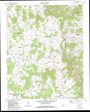
Milton Topo Map Tennessee
To zoom in, hover over the map of Milton
USGS Topo Quad 35086h2 - 1:24,000 scale
| Topo Map Name: | Milton |
| USGS Topo Quad ID: | 35086h2 |
| Print Size: | ca. 21 1/4" wide x 27" high |
| Southeast Coordinates: | 35.875° N latitude / 86.125° W longitude |
| Map Center Coordinates: | 35.9375° N latitude / 86.1875° W longitude |
| U.S. State: | TN |
| Filename: | o35086h2.jpg |
| Download Map JPG Image: | Milton topo map 1:24,000 scale |
| Map Type: | Topographic |
| Topo Series: | 7.5´ |
| Map Scale: | 1:24,000 |
| Source of Map Images: | United States Geological Survey (USGS) |
| Alternate Map Versions: |
Milton TN 1962, updated 1963 Download PDF Buy paper map Milton TN 1962, updated 1980 Download PDF Buy paper map Milton TN 1962, updated 1984 Download PDF Buy paper map Milton TN 2010 Download PDF Buy paper map Milton TN 2013 Download PDF Buy paper map Milton TN 2016 Download PDF Buy paper map |
1:24,000 Topo Quads surrounding Milton
> Back to 35086e1 at 1:100,000 scale
> Back to 35086a1 at 1:250,000 scale
> Back to U.S. Topo Maps home
Milton topo map: Gazetteer
Milton: Populated Places
Cainsville elevation 229m 751′Ewingsville (historical) elevation 223m 731′
Gloriana (historical) elevation 237m 777′
Greenvale elevation 233m 764′
Milton elevation 227m 744′
Oregon (historical) elevation 212m 695′
Porterfield elevation 202m 662′
Milton: Post Offices
Milton Post Office elevation 227m 744′Milton: Streams
Dry Fork elevation 183m 600′Northcutt Branch elevation 201m 659′
Trimble Branch elevation 169m 554′
Milton: Summits
Fisher Knob elevation 383m 1256′Lawrence Knob elevation 359m 1177′
Turney Knob elevation 379m 1243′
Milton: Valleys
Bains Hollow elevation 230m 754′Milton digital topo map on disk
Buy this Milton topo map showing relief, roads, GPS coordinates and other geographical features, as a high-resolution digital map file on DVD:


