Saint Joseph Topo Map Tennessee
To zoom in, hover over the map of Saint Joseph
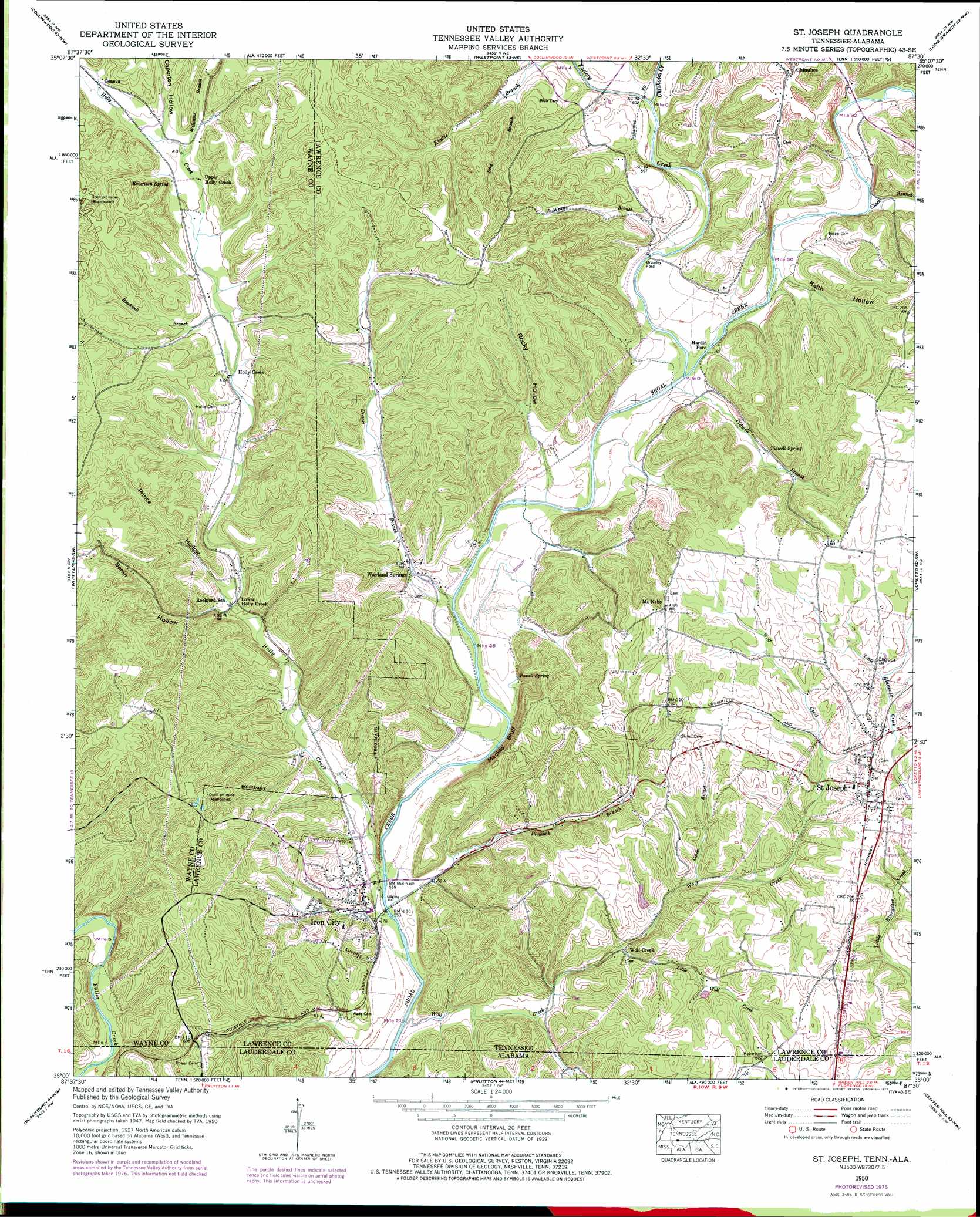
USGS Topo Quad 35087a5 - 1:24,000 scale
| Topo Map Name: | Saint Joseph |
| USGS Topo Quad ID: | 35087a5 |
| Print Size: | ca. 21 1/4" wide x 27" high |
| Southeast Coordinates: | 35° N latitude / 87.5° W longitude |
| Map Center Coordinates: | 35.0625° N latitude / 87.5625° W longitude |
| U.S. States: | TN, AL |
| Filename: | o35087a5.jpg |
| Download Map JPG Image: | Saint Joseph topo map 1:24,000 scale |
| Map Type: | Topographic |
| Topo Series: | 7.5´ |
| Map Scale: | 1:24,000 |
| Source of Map Images: | United States Geological Survey (USGS) |
| Alternate Map Versions: |
St. Joseph TN 1936 Download PDF Buy paper map St. Joseph TN 1950, updated 1954 Download PDF Buy paper map St. Joseph TN 1950, updated 1977 Download PDF Buy paper map Saint Joseph TN 2010 Download PDF Buy paper map Saint Joseph TN 2013 Download PDF Buy paper map Saint Joseph TN 2016 Download PDF Buy paper map |
1:24,000 Topo Quads surrounding Saint Joseph
Waynesboro |
Negro Hollow |
Ovilla |
Deerfield |
Ethridge |
Three Churches |
Collinwood |
Westpoint |
Long Branch |
Lawrenceburg |
Cypress Inn |
Whitten |
Saint Joseph |
Loretto |
Bonnertown |
Threet |
Blackburn |
Pruitton |
Center Hill |
Lexington |
Sinking Creek |
Florence |
Killen |
Wheeler Dam |
Rogersville |
> Back to 35087a1 at 1:100,000 scale
> Back to 35086a1 at 1:250,000 scale
> Back to U.S. Topo Maps home
Saint Joseph topo map: Gazetteer
Saint Joseph: Cliffs
Mackey Bluff elevation 205m 672′Saint Joseph: Crossings
Bromley Ford elevation 177m 580′Hardin Ford elevation 180m 590′
Ward Ford elevation 157m 515′
Saint Joseph: Dams
McKinney Lake Dam elevation 210m 688′Saint Joseph: Mines
Allen Prospect elevation 246m 807′Berlin Prospect elevation 249m 816′
Bromley Mine elevation 266m 872′
Cedar Point Mine elevation 185m 606′
Couch Mine elevation 281m 921′
Elting Mine elevation 274m 898′
Hardwick Mine elevation 258m 846′
Hollis Prospect elevation 258m 846′
J B Powell Mine elevation 273m 895′
Lull-White Prospect elevation 257m 843′
McKinney Mine elevation 187m 613′
Powell Mine elevation 264m 866′
Powell Prospect Number One elevation 265m 869′
Powell Prospect Number Two elevation 263m 862′
Pruitt Mine elevation 255m 836′
Seavy-Lull Mine elevation 263m 862′
Van Leer Mine elevation 262m 859′
Wade-Reynolds Prospect elevation 230m 754′
Saint Joseph: Parks
Saint Joseph City Park elevation 239m 784′Saint Joseph: Populated Places
Chinubee elevation 247m 810′Corning (historical) elevation 208m 682′
Geneva elevation 229m 751′
Hardwick (historical) elevation 198m 649′
Holly Creek elevation 203m 666′
Iron City elevation 172m 564′
Lower Holly Creek elevation 183m 600′
Mount Nebo elevation 262m 859′
Rhoades Hill (historical) elevation 180m 590′
Saint Joseph elevation 242m 793′
Upper Holly Creek elevation 214m 702′
Wayland Springs elevation 173m 567′
Wolf Creek elevation 184m 603′
Saint Joseph: Post Offices
Saint Joseph Post Office elevation 242m 793′Saint Joseph: Reservoirs
McKinney Lake elevation 210m 688′Saint Joseph: Springs
Big Spring elevation 182m 597′Iron City Spring elevation 183m 600′
Powell Spring elevation 170m 557′
Robertson Spring elevation 219m 718′
Tidwell Spring elevation 199m 652′
Saint Joseph: Streams
Bird Branch elevation 202m 662′Blackwell Branch elevation 203m 666′
Brewer Branch elevation 167m 547′
Carter Branch elevation 193m 633′
Chisholm Creek elevation 183m 600′
Clack Branch elevation 179m 587′
Factory Creek elevation 172m 564′
Holly Creek elevation 163m 534′
Little Wolf Creek elevation 179m 587′
Pinhook Branch elevation 163m 534′
Tidwell Branch elevation 171m 561′
Weaver Branch elevation 174m 570′
Williams Branch elevation 218m 715′
Wolf Creek elevation 159m 521′
Saint Joseph: Valleys
Berlin Hollow elevation 185m 606′Caperton Hollow elevation 224m 734′
Keith Hollow elevation 176m 577′
Prince Hollow elevation 188m 616′
Rocky Hollow elevation 177m 580′
Tidwell Hollow elevation 178m 583′
Saint Joseph digital topo map on disk
Buy this Saint Joseph topo map showing relief, roads, GPS coordinates and other geographical features, as a high-resolution digital map file on DVD: