Mclemoresville Topo Map Tennessee
To zoom in, hover over the map of Mclemoresville
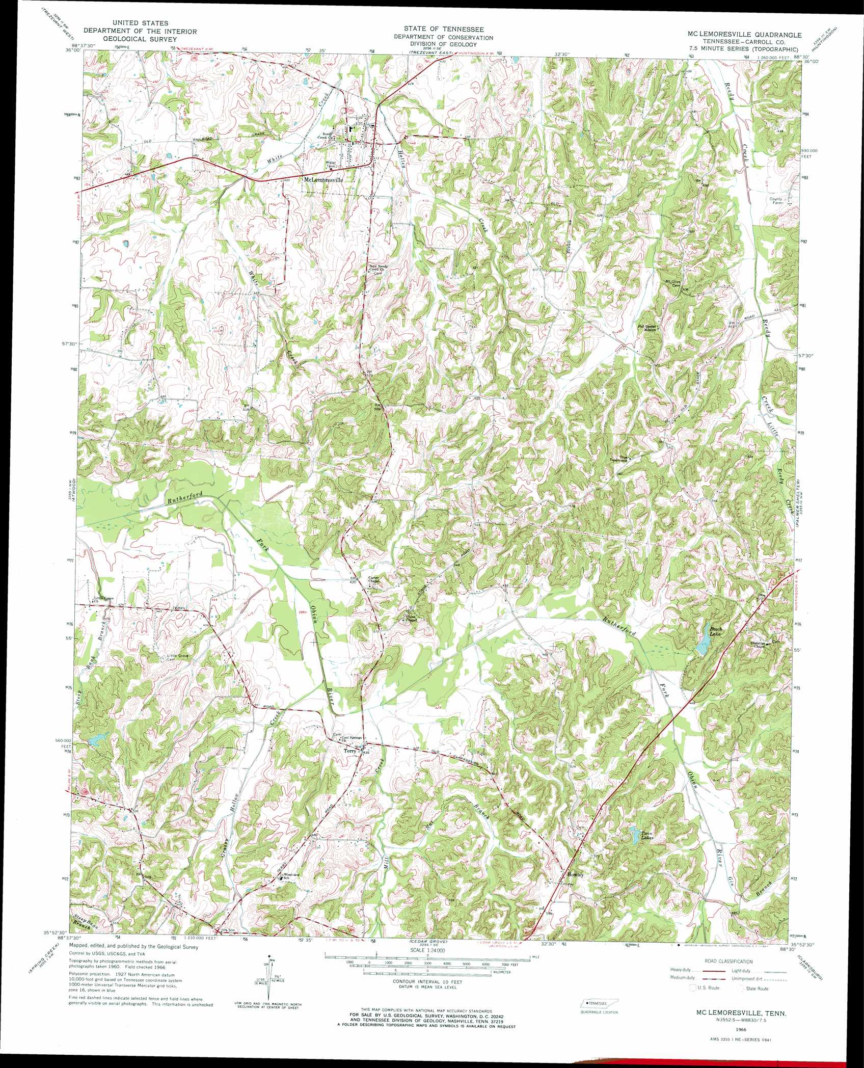
USGS Topo Quad 35088h5 - 1:24,000 scale
| Topo Map Name: | Mclemoresville |
| USGS Topo Quad ID: | 35088h5 |
| Print Size: | ca. 21 1/4" wide x 27" high |
| Southeast Coordinates: | 35.875° N latitude / 88.5° W longitude |
| Map Center Coordinates: | 35.9375° N latitude / 88.5625° W longitude |
| U.S. State: | TN |
| Filename: | o35088h5.jpg |
| Download Map JPG Image: | Mclemoresville topo map 1:24,000 scale |
| Map Type: | Topographic |
| Topo Series: | 7.5´ |
| Map Scale: | 1:24,000 |
| Source of Map Images: | United States Geological Survey (USGS) |
| Alternate Map Versions: |
Mc Lemoresville TN 1966, updated 1967 Download PDF Buy paper map Mc Lemoresville TN 1966, updated 1991 Download PDF Buy paper map McLemoresville TN 2010 Download PDF Buy paper map McLemoresville TN 2013 Download PDF Buy paper map McLemoresville TN 2016 Download PDF Buy paper map |
1:24,000 Topo Quads surrounding Mclemoresville
Greenfield |
Pillowville |
Mckenzie |
Henry |
Mansfield |
Bradford |
Trezevant West |
Trezevant East |
Huntingdon |
Vale |
Milan |
Atwood |
Mclemoresville |
Palmer Shelter |
Buena Vista |
Medina |
Spring Creek |
Cedar Grove |
Clarksburg |
Yuma |
Jackson North |
Claybrook |
Juno |
Lexington |
Chesterfield |
> Back to 35088e1 at 1:100,000 scale
> Back to 35088a1 at 1:250,000 scale
> Back to U.S. Topo Maps home
Mclemoresville topo map: Gazetteer
Mclemoresville: Dams
Beech Dam elevation 143m 469′Robert Haney Dam elevation 142m 465′
Mclemoresville: Lakes
Twin Lakes elevation 145m 475′Mclemoresville: Populated Places
Carters Chapel elevation 128m 419′Howley elevation 178m 583′
McLemoresville elevation 128m 419′
Terry elevation 132m 433′
Mclemoresville: Reservoirs
Beech Lake elevation 143m 469′Robert Haney Lake elevation 142m 465′
Mclemoresville: Streams
Gin Branch elevation 133m 436′Grassy Hollow Creek elevation 121m 396′
Little Reedy Creek elevation 129m 423′
Mill Creek elevation 122m 400′
Nat Branch elevation 130m 426′
Mclemoresville digital topo map on disk
Buy this Mclemoresville topo map showing relief, roads, GPS coordinates and other geographical features, as a high-resolution digital map file on DVD: