Sunnyhill Topo Map Tennessee
To zoom in, hover over the map of Sunnyhill
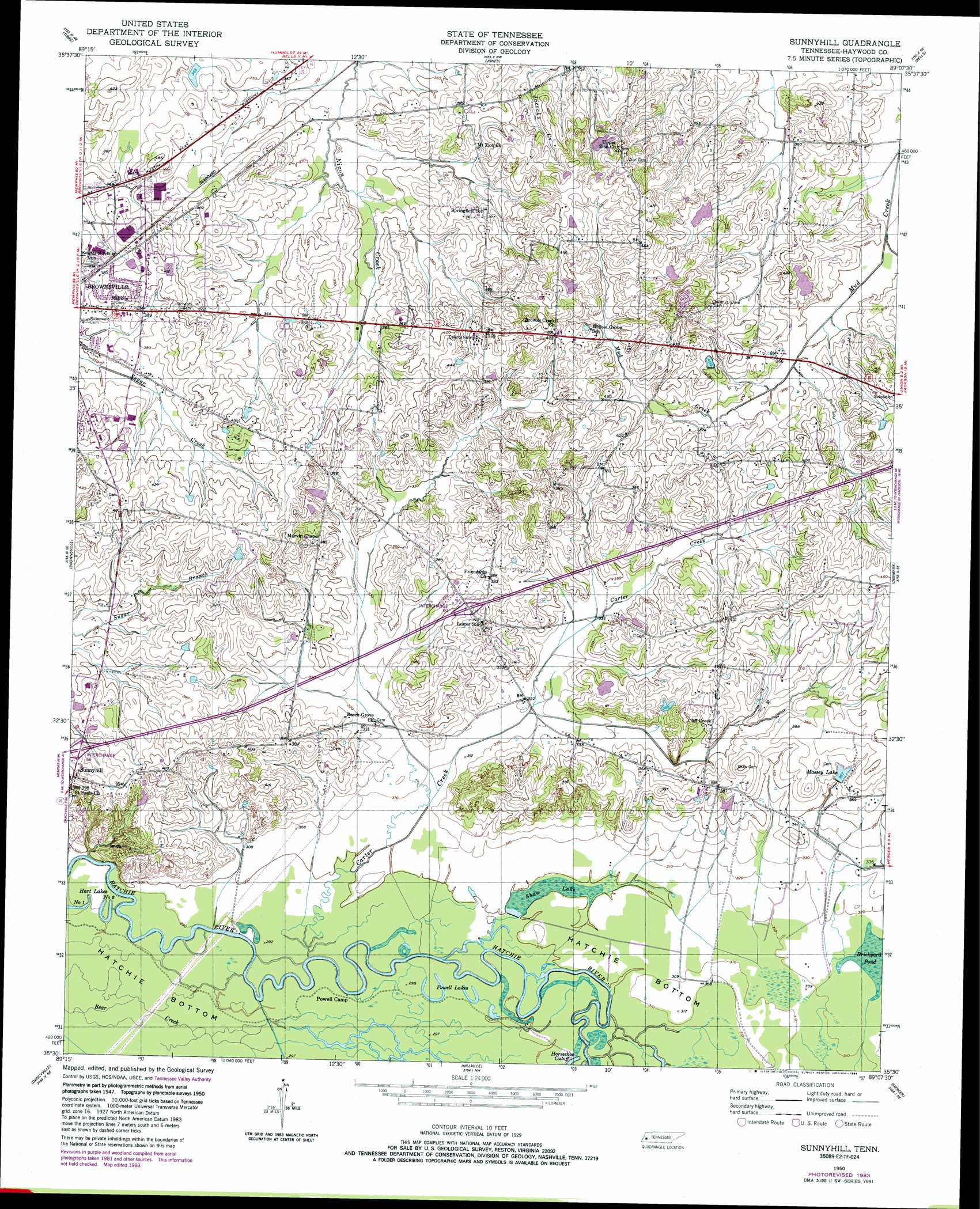
USGS Topo Quad 35089e2 - 1:24,000 scale
| Topo Map Name: | Sunnyhill |
| USGS Topo Quad ID: | 35089e2 |
| Print Size: | ca. 21 1/4" wide x 27" high |
| Southeast Coordinates: | 35.5° N latitude / 89.125° W longitude |
| Map Center Coordinates: | 35.5625° N latitude / 89.1875° W longitude |
| U.S. State: | TN |
| Filename: | o35089e2.jpg |
| Download Map JPG Image: | Sunnyhill topo map 1:24,000 scale |
| Map Type: | Topographic |
| Topo Series: | 7.5´ |
| Map Scale: | 1:24,000 |
| Source of Map Images: | United States Geological Survey (USGS) |
| Alternate Map Versions: |
Sunnyhill TN 1950, updated 1981 Download PDF Buy paper map Sunnyhill TN 1950, updated 1984 Download PDF Buy paper map Sunnyhill TN 1951 Download PDF Buy paper map Sunnyhill TN 2010 Download PDF Buy paper map Sunnyhill TN 2013 Download PDF Buy paper map Sunnyhill TN 2016 Download PDF Buy paper map |
1:24,000 Topo Quads surrounding Sunnyhill
Gates |
Chestnut Bluff |
Maury City |
Alamo |
Humboldt |
Durhamville |
Tibbs |
Jones |
Bells |
Adair |
Turnpike |
Brownsville |
Sunnyhill |
Denmark |
Westover |
Stanton |
Dancyville |
Hillville |
Mercer |
Teague |
Lambert |
Laconia |
Whiteville |
Bolivar West |
Bolivar East |
> Back to 35089e1 at 1:100,000 scale
> Back to 35088a1 at 1:250,000 scale
> Back to U.S. Topo Maps home
Sunnyhill topo map: Gazetteer
Sunnyhill: Crossings
Interchange 56 elevation 113m 370′Interchange 60 elevation 111m 364′
Sunnyhill: Dams
Cobb Creek Tributary Dam Number 15m-28-2 elevation 116m 380′Holt Dam elevation 126m 413′
Powell Dam elevation 115m 377′
Stokely Dam elevation 110m 360′
Walker Dam elevation 105m 344′
Sunnyhill: Lakes
Hart Lake Number Two elevation 88m 288′Powell Lakes elevation 89m 291′
Sunnyhill: Parks
Hatchie National Wildlife Refuge elevation 90m 295′Sunnyhill: Populated Places
Sunnyhill elevation 122m 400′Willow Grove elevation 129m 423′
Sunnyhill: Reservoirs
Cobb Creek Lake elevation 116m 380′Holt Lake elevation 126m 413′
Massey Lake elevation 111m 364′
Powell Lake elevation 115m 377′
Shaw Lake elevation 90m 295′
Stokely Lake elevation 110m 360′
Walker Lake elevation 105m 344′
Sunnyhill: Streams
Cane Creek elevation 101m 331′Carter Creek elevation 88m 288′
Sunnyhill digital topo map on disk
Buy this Sunnyhill topo map showing relief, roads, GPS coordinates and other geographical features, as a high-resolution digital map file on DVD: