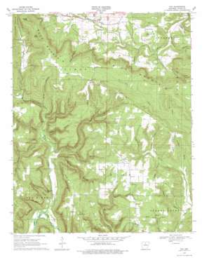
Fox Topo Map Arkansas
To zoom in, hover over the map of Fox
USGS Topo Quad 35092g3 - 1:24,000 scale
| Topo Map Name: | Fox |
| USGS Topo Quad ID: | 35092g3 |
| Print Size: | ca. 21 1/4" wide x 27" high |
| Southeast Coordinates: | 35.75° N latitude / 92.25° W longitude |
| Map Center Coordinates: | 35.8125° N latitude / 92.3125° W longitude |
| U.S. State: | AR |
| Filename: | o35092g3.jpg |
| Download Map JPG Image: | Fox topo map 1:24,000 scale |
| Map Type: | Topographic |
| Topo Series: | 7.5´ |
| Map Scale: | 1:24,000 |
| Source of Map Images: | United States Geological Survey (USGS) |
| Alternate Map Versions: |
Fox AR 1969, updated 1971 Download PDF Buy paper map Fox AR 1969, updated 1978 Download PDF Buy paper map Fox AR 2011 Download PDF Buy paper map Fox AR 2014 Download PDF Buy paper map |
1:24,000 Topo Quads surrounding Fox
> Back to 35092e1 at 1:100,000 scale
> Back to 35092a1 at 1:250,000 scale
> Back to U.S. Topo Maps home
Fox topo map: Gazetteer
Fox: Arches
Arlberg Arch elevation 369m 1210′Fox: Cliffs
Bee Bluff elevation 287m 941′Pinnacle Point elevation 290m 951′
Fox: Dams
Crouch Lake Dam elevation 416m 1364′Fox: Falls
Bear Pen Falls elevation 356m 1167′Fox: Populated Places
Fox elevation 430m 1410′Mozart elevation 482m 1581′
Timbo elevation 258m 846′
Fox: Post Offices
Fox Post Office elevation 428m 1404′Timbo Post Office elevation 258m 846′
Fox: Reservoirs
Crouch Lake elevation 416m 1364′Fox: Ridges
Dodd Ridge elevation 468m 1535′Hart Ridge elevation 396m 1299′
Johnson Ridge elevation 428m 1404′
Whipple Ridge elevation 382m 1253′
Fox: Springs
Hinesley Spring elevation 373m 1223′Fox: Streams
Goodwin Branch elevation 205m 672′Jimmys Creek elevation 275m 902′
Meadow Creek elevation 193m 633′
Tick Creek elevation 275m 902′
Timbo Creek elevation 244m 800′
Fox: Summits
Bald Knob elevation 547m 1794′Blue Mountain Knob elevation 260m 853′
Strand Knob elevation 561m 1840′
Fox: Valleys
Bear Pen Hollow elevation 223m 731′Cranes Nest Hollow elevation 239m 784′
Crump Hollow elevation 311m 1020′
Gilmore Hollow elevation 169m 554′
Glade Hollow elevation 256m 839′
Goldman Hollow elevation 259m 849′
Grassy Hollow elevation 229m 751′
Griffin Hollow elevation 344m 1128′
Harper Hollow elevation 298m 977′
Ives Hollow elevation 359m 1177′
Lancaster Hollow elevation 340m 1115′
Levi Hollow elevation 289m 948′
Linsey Hollow elevation 229m 751′
Pinnacle Hollow elevation 200m 656′
Pour Off Hollow elevation 344m 1128′
Rattlesnake Hollow elevation 189m 620′
Roby Hollow elevation 238m 780′
Rocky Hollow elevation 217m 711′
Sibley Hollow elevation 329m 1079′
Signboard Hollow elevation 180m 590′
Still Hollow elevation 258m 846′
Suck Hollow elevation 229m 751′
Fox digital topo map on disk
Buy this Fox topo map showing relief, roads, GPS coordinates and other geographical features, as a high-resolution digital map file on DVD:


