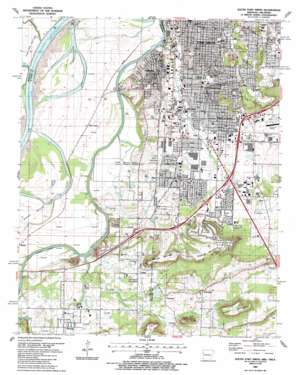
South Fort Smith Topo Map Arkansas
To zoom in, hover over the map of South Fort Smith
USGS Topo Quad 35094c4 - 1:24,000 scale
| Topo Map Name: | South Fort Smith |
| USGS Topo Quad ID: | 35094c4 |
| Print Size: | ca. 21 1/4" wide x 27" high |
| Southeast Coordinates: | 35.25° N latitude / 94.375° W longitude |
| Map Center Coordinates: | 35.3125° N latitude / 94.4375° W longitude |
| U.S. States: | AR, OK |
| Filename: | o35094c4.jpg |
| Download Map JPG Image: | South Fort Smith topo map 1:24,000 scale |
| Map Type: | Topographic |
| Topo Series: | 7.5´ |
| Map Scale: | 1:24,000 |
| Source of Map Images: | United States Geological Survey (USGS) |
| Alternate Map Versions: |
South Fort Smith AR 1948, updated 1967 Download PDF Buy paper map South Fort Smith AR 1948, updated 1971 Download PDF Buy paper map South Fort Smith AR 1948, updated 1978 Download PDF Buy paper map South Fort Smith AR 1951 Download PDF Buy paper map South Fort Smith AR 1987, updated 1988 Download PDF Buy paper map South Fort Smith AR 1987, updated 1988 Download PDF Buy paper map South Fort Smith AR 2011 Download PDF Buy paper map South Fort Smith AR 2014 Download PDF Buy paper map |
1:24,000 Topo Quads surrounding South Fort Smith
> Back to 35094a1 at 1:100,000 scale
> Back to 35094a1 at 1:250,000 scale
> Back to U.S. Topo Maps home
South Fort Smith topo map: Gazetteer
South Fort Smith: Airports
South Fort Smith Municipal Airport elevation 139m 456′South Fort Smith: Crossings
Interchange 10 elevation 155m 508′Interchange 11 elevation 153m 501′
Interchange 12 elevation 143m 469′
Interchange 13 elevation 147m 482′
Interchange 14 elevation 158m 518′
Interchange 9 elevation 147m 482′
South Fort Smith: Dams
Echols Lake Dam elevation 170m 557′Kimmons Lake Dam elevation 140m 459′
South Fort Smith: Parks
Creekmore Park elevation 148m 485′Hunt Park elevation 149m 488′
South Fort Smith: Populated Places
Arkoma elevation 158m 518′Bashe elevation 131m 429′
Buell elevation 146m 479′
Cavanaugh elevation 148m 485′
Cedars elevation 143m 469′
Enterprise elevation 152m 498′
Mill Creek elevation 137m 449′
Peno Corner elevation 128m 419′
Saw Mill elevation 155m 508′
South Fort Smith elevation 149m 488′
White Bluff elevation 176m 577′
South Fort Smith: Post Offices
Rogers Avenue Station Post Office elevation 167m 547′South Fort Smith Branch Post Office elevation 151m 495′
South Fort Smith: Reservoirs
Bailey Hill Reservoir elevation 172m 564′Crowe Hill Reservoir elevation 209m 685′
Echols Lake elevation 170m 557′
Kimmons Lake elevation 140m 459′
South Fort Smith: Streams
Camp Creek elevation 120m 393′Cedar Creek elevation 121m 396′
Cedar Creek elevation 121m 396′
Mill Creek elevation 126m 413′
Mill Creek elevation 118m 387′
Mud Slough elevation 120m 393′
South Fort Smith: Summits
Brooks Stephins Mountain elevation 218m 715′George Mountain elevation 203m 666′
George Mountain elevation 209m 685′
Grober Mountain elevation 223m 731′
White Bluff Mountain elevation 173m 567′
South Fort Smith digital topo map on disk
Buy this South Fort Smith topo map showing relief, roads, GPS coordinates and other geographical features, as a high-resolution digital map file on DVD:


