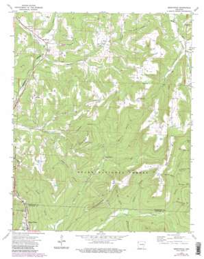
Brentwood Topo Map Arkansas
To zoom in, hover over the map of Brentwood
USGS Topo Quad 35094g1 - 1:24,000 scale
| Topo Map Name: | Brentwood |
| USGS Topo Quad ID: | 35094g1 |
| Print Size: | ca. 21 1/4" wide x 27" high |
| Southeast Coordinates: | 35.75° N latitude / 94° W longitude |
| Map Center Coordinates: | 35.8125° N latitude / 94.0625° W longitude |
| U.S. State: | AR |
| Filename: | o35094g1.jpg |
| Download Map JPG Image: | Brentwood topo map 1:24,000 scale |
| Map Type: | Topographic |
| Topo Series: | 7.5´ |
| Map Scale: | 1:24,000 |
| Source of Map Images: | United States Geological Survey (USGS) |
| Alternate Map Versions: |
Brentwood AR 1973, updated 1976 Download PDF Buy paper map Brentwood AR 1973, updated 1983 Download PDF Buy paper map Brentwood AR 1973, updated 1983 Download PDF Buy paper map Brentwood AR 2011 Download PDF Buy paper map Brentwood AR 2014 Download PDF Buy paper map |
| FStopo: | US Forest Service topo Brentwood is available: Download FStopo PDF Download FStopo TIF |
1:24,000 Topo Quads surrounding Brentwood
> Back to 35094e1 at 1:100,000 scale
> Back to 35094a1 at 1:250,000 scale
> Back to U.S. Topo Maps home
Brentwood topo map: Gazetteer
Brentwood: Dams
Mount Gaylor Lake Dam elevation 618m 2027′Brentwood: Populated Places
Brentwood elevation 452m 1482′Mount Gaylor elevation 636m 2086′
Porters Store (historical) elevation 456m 1496′
Sunset elevation 694m 2276′
Wyola elevation 549m 1801′
Brentwood: Post Offices
Sunset Post Office (historical) elevation 682m 2237′Brentwood: Reservoirs
Mount Gaylor Lake elevation 618m 2027′Brentwood: Streams
Bee Branch elevation 482m 1581′Dry Creek elevation 454m 1489′
Hutchins Creek elevation 456m 1496′
Jones Branch elevation 452m 1482′
London Creek elevation 447m 1466′
Mast Creek elevation 461m 1512′
Shrader Branch elevation 372m 1220′
Brentwood: Summits
Gaylor Mountain elevation 613m 2011′Henderson Mountain elevation 683m 2240′
Weedy Rough Mountain elevation 643m 2109′
Brentwood: Valleys
Barnard Hollow elevation 419m 1374′Brown Hollow elevation 390m 1279′
Gabbard Hollow elevation 356m 1167′
Goat Den Hollow elevation 362m 1187′
Keets Hollow elevation 515m 1689′
Lafe Evans Hollow elevation 445m 1459′
Mud Spring Hollow elevation 410m 1345′
Paschal Hollow elevation 423m 1387′
Pense Hollow elevation 318m 1043′
Purdue Hollow elevation 364m 1194′
Skelton Hollow elevation 432m 1417′
Sugar Tree Hollow elevation 350m 1148′
Tom Ritter Hollow elevation 478m 1568′
Brentwood digital topo map on disk
Buy this Brentwood topo map showing relief, roads, GPS coordinates and other geographical features, as a high-resolution digital map file on DVD:


