Washburn Arroyo Topo Map Texas
To zoom in, hover over the map of Washburn Arroyo
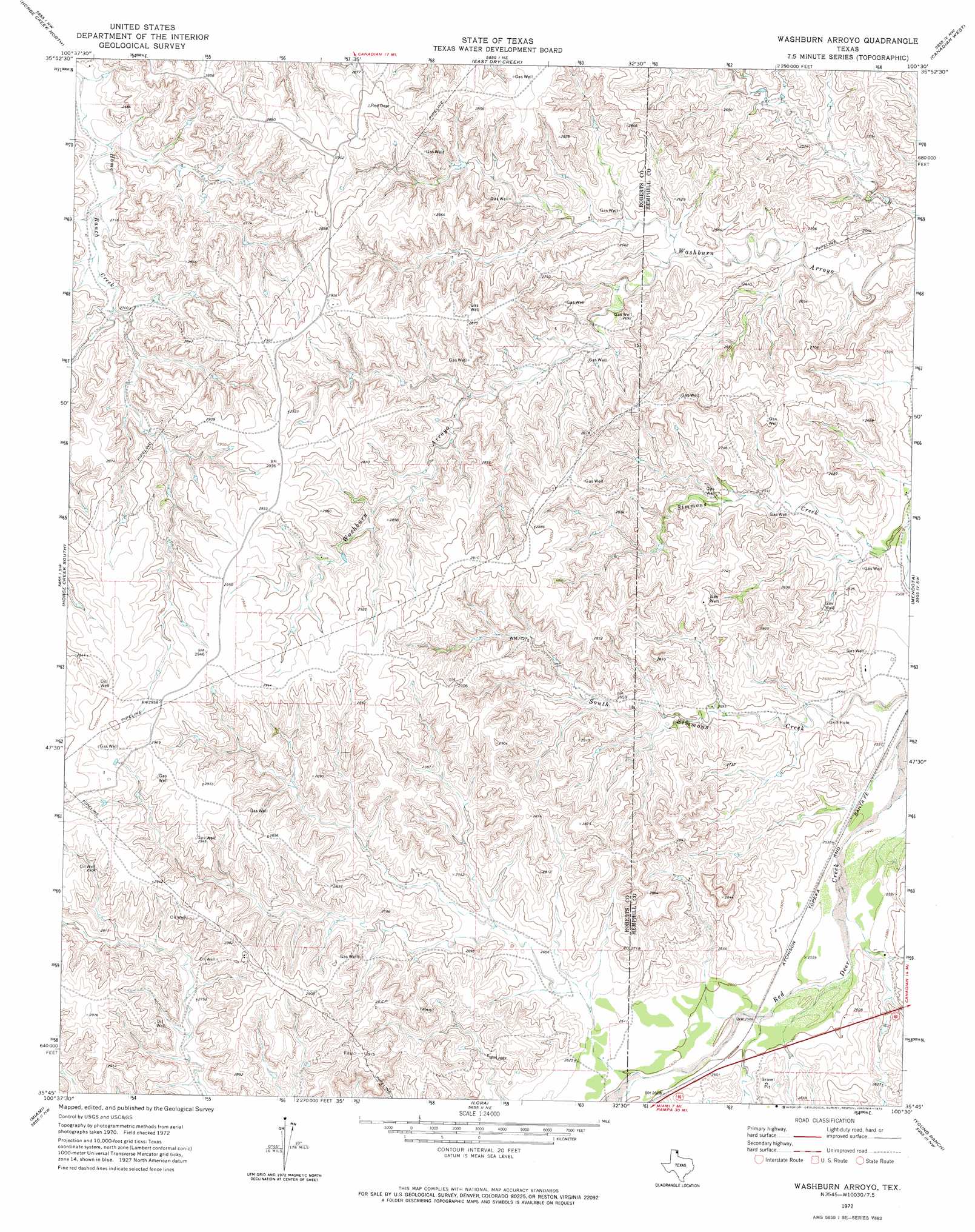
USGS Topo Quad 35100g5 - 1:24,000 scale
| Topo Map Name: | Washburn Arroyo |
| USGS Topo Quad ID: | 35100g5 |
| Print Size: | ca. 21 1/4" wide x 27" high |
| Southeast Coordinates: | 35.75° N latitude / 100.5° W longitude |
| Map Center Coordinates: | 35.8125° N latitude / 100.5625° W longitude |
| U.S. State: | TX |
| Filename: | o35100g5.jpg |
| Download Map JPG Image: | Washburn Arroyo topo map 1:24,000 scale |
| Map Type: | Topographic |
| Topo Series: | 7.5´ |
| Map Scale: | 1:24,000 |
| Source of Map Images: | United States Geological Survey (USGS) |
| Alternate Map Versions: |
Washburn Arroyo TX 1972, updated 1974 Download PDF Buy paper map Washburn Arroyo TX 2010 Download PDF Buy paper map Washburn Arroyo TX 2012 Download PDF Buy paper map Washburn Arroyo TX 2016 Download PDF Buy paper map |
1:24,000 Topo Quads surrounding Washburn Arroyo
Sourdough Creek |
Pickett Ranch Creek |
Barton Creek |
Lipscomb Sw |
Glazier |
Dry Creek Ne |
Horse Creek North |
East Dry Creek |
Canadian West |
Canadian East |
Dry Creek Se |
Horse Creek South |
Washburn Arroyo |
Mendota |
Canadian Se |
Pampa Ne |
Miami |
Lora |
Young Ranch |
Dads Creek |
Hoover |
Laketon |
Tody School |
Mobeetie |
Briscoe |
> Back to 35100e1 at 1:100,000 scale
> Back to 35100a1 at 1:250,000 scale
> Back to U.S. Topo Maps home
No gazetteer data is available for the Washburn Arroyo topo map sheet.
Washburn Arroyo digital topo map on disk
Buy this Washburn Arroyo topo map showing relief, roads, GPS coordinates and other geographical features, as a high-resolution digital map file on DVD: