Fairview Topo Map Texas
To zoom in, hover over the map of Fairview
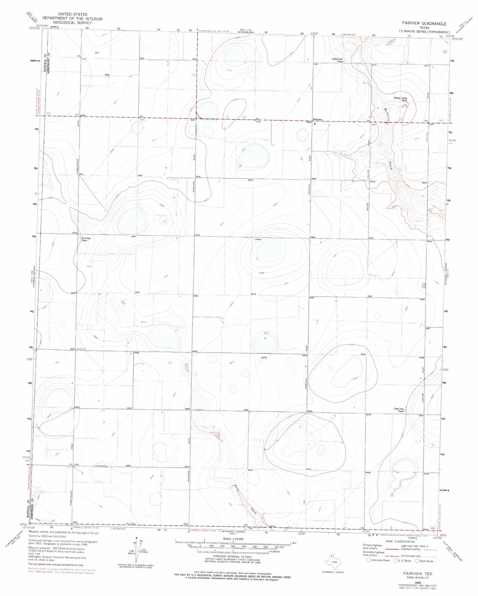
USGS Topo Quad 35101a5 - 1:24,000 scale
| Topo Map Name: | Fairview |
| USGS Topo Quad ID: | 35101a5 |
| Print Size: | ca. 21 1/4" wide x 27" high |
| Southeast Coordinates: | 35° N latitude / 101.5° W longitude |
| Map Center Coordinates: | 35.0625° N latitude / 101.5625° W longitude |
| U.S. State: | TX |
| Filename: | o35101a5.jpg |
| Download Map JPG Image: | Fairview topo map 1:24,000 scale |
| Map Type: | Topographic |
| Topo Series: | 7.5´ |
| Map Scale: | 1:24,000 |
| Source of Map Images: | United States Geological Survey (USGS) |
| Alternate Map Versions: |
Fairview TX 1960, updated 1961 Download PDF Buy paper map Fairview TX 1960, updated 1968 Download PDF Buy paper map Fairview TX 1960, updated 1975 Download PDF Buy paper map Fairview TX 2010 Download PDF Buy paper map Fairview TX 2012 Download PDF Buy paper map Fairview TX 2016 Download PDF Buy paper map |
1:24,000 Topo Quads surrounding Fairview
Pleasant Valley |
Mayer |
Sevenmile Basin |
Panhandle West |
Panhandle East |
Amarillo East |
Pullman |
Washburn |
Conway |
Claude Ne |
The Palisades |
Thomas Ranch |
Fairview |
Claude Sw |
Claude |
Nance Ranch |
Fortress Cliff |
Pony Flats |
Luttrell Springs |
Luttrell Springs Ne |
Canyon Se |
Wesley Point |
Wayside |
Pleasant Creek |
Gip Creek |
> Back to 35101a1 at 1:100,000 scale
> Back to 35100a1 at 1:250,000 scale
> Back to U.S. Topo Maps home
Fairview digital topo map on disk
Buy this Fairview topo map showing relief, roads, GPS coordinates and other geographical features, as a high-resolution digital map file on DVD: