Conway Topo Map Texas
To zoom in, hover over the map of Conway
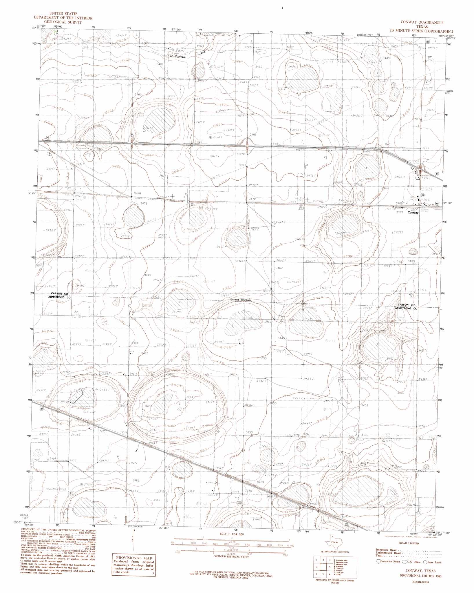
USGS Topo Quad 35101b4 - 1:24,000 scale
| Topo Map Name: | Conway |
| USGS Topo Quad ID: | 35101b4 |
| Print Size: | ca. 21 1/4" wide x 27" high |
| Southeast Coordinates: | 35.125° N latitude / 101.375° W longitude |
| Map Center Coordinates: | 35.1875° N latitude / 101.4375° W longitude |
| U.S. State: | TX |
| Filename: | o35101b4.jpg |
| Download Map JPG Image: | Conway topo map 1:24,000 scale |
| Map Type: | Topographic |
| Topo Series: | 7.5´ |
| Map Scale: | 1:24,000 |
| Source of Map Images: | United States Geological Survey (USGS) |
| Alternate Map Versions: |
Conway TX 1983, updated 1984 Download PDF Buy paper map Conway TX 2010 Download PDF Buy paper map Conway TX 2012 Download PDF Buy paper map Conway TX 2016 Download PDF Buy paper map |
1:24,000 Topo Quads surrounding Conway
Berry Sand Draw |
Pomeroy |
Abell |
Cuyler |
White Deer |
Mayer |
Sevenmile Basin |
Panhandle West |
Panhandle East |
White Deer Sw |
Pullman |
Washburn |
Conway |
Claude Ne |
Lark |
Thomas Ranch |
Fairview |
Claude Sw |
Claude |
Goodnight |
Fortress Cliff |
Pony Flats |
Luttrell Springs |
Luttrell Springs Ne |
Blue Hole Springs |
> Back to 35101a1 at 1:100,000 scale
> Back to 35100a1 at 1:250,000 scale
> Back to U.S. Topo Maps home
Conway topo map: Gazetteer
Conway: Airports
Eagles Aerodrome elevation 1058m 3471′Conway: Populated Places
Conway elevation 1054m 3458′Conway digital topo map on disk
Buy this Conway topo map showing relief, roads, GPS coordinates and other geographical features, as a high-resolution digital map file on DVD: