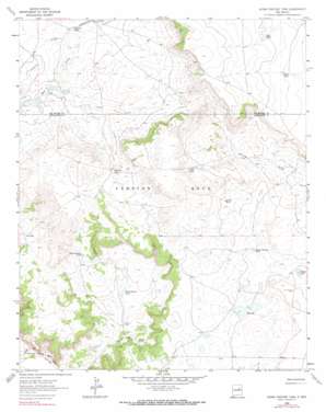
Horse Pasture Tank Topo Map New Mexico
To zoom in, hover over the map of Horse Pasture Tank
USGS Topo Quad 35104b7 - 1:24,000 scale
| Topo Map Name: | Horse Pasture Tank |
| USGS Topo Quad ID: | 35104b7 |
| Print Size: | ca. 21 1/4" wide x 27" high |
| Southeast Coordinates: | 35.125° N latitude / 104.75° W longitude |
| Map Center Coordinates: | 35.1875° N latitude / 104.8125° W longitude |
| U.S. State: | NM |
| Filename: | o35104b7.jpg |
| Download Map JPG Image: | Horse Pasture Tank topo map 1:24,000 scale |
| Map Type: | Topographic |
| Topo Series: | 7.5´ |
| Map Scale: | 1:24,000 |
| Source of Map Images: | United States Geological Survey (USGS) |
| Alternate Map Versions: |
Horse Pasture Tank NM 1963, updated 1965 Download PDF Buy paper map Horse Pasture Tank NM 1963, updated 1990 Download PDF Buy paper map Horse Pasture Tank NM 2010 Download PDF Buy paper map Horse Pasture Tank NM 2013 Download PDF Buy paper map Horse Pasture Tank NM 2017 Download PDF Buy paper map |
1:24,000 Topo Quads surrounding Horse Pasture Tank
> Back to 35104a1 at 1:100,000 scale
> Back to 35104a1 at 1:250,000 scale
> Back to U.S. Topo Maps home
Horse Pasture Tank topo map: Gazetteer
Horse Pasture Tank: Lakes
Red Lake elevation 1559m 5114′Red Lakes elevation 1554m 5098′
Horse Pasture Tank: Mines
Gold Prospect elevation 1584m 5196′Horse Pasture Tank: Reservoirs
Alamito Tank elevation 1566m 5137′Bell Tank elevation 1641m 5383′
Chalky Tank elevation 1631m 5351′
Eversaw Tank elevation 1594m 5229′
Horse Pasture Tank elevation 1513m 4963′
North Colonias Tank elevation 1568m 5144′
West Colonias Tank elevation 1555m 5101′
Woody Tank elevation 1572m 5157′
Horse Pasture Tank digital topo map on disk
Buy this Horse Pasture Tank topo map showing relief, roads, GPS coordinates and other geographical features, as a high-resolution digital map file on DVD:


