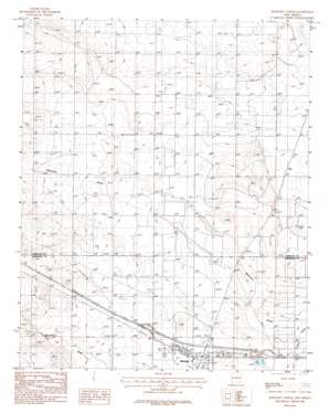
Moriarty North Topo Map New Mexico
To zoom in, hover over the map of Moriarty North
USGS Topo Quad 35106a1 - 1:24,000 scale
| Topo Map Name: | Moriarty North |
| USGS Topo Quad ID: | 35106a1 |
| Print Size: | ca. 21 1/4" wide x 27" high |
| Southeast Coordinates: | 35° N latitude / 106° W longitude |
| Map Center Coordinates: | 35.0625° N latitude / 106.0625° W longitude |
| U.S. State: | NM |
| Filename: | o35106a1.jpg |
| Download Map JPG Image: | Moriarty North topo map 1:24,000 scale |
| Map Type: | Topographic |
| Topo Series: | 7.5´ |
| Map Scale: | 1:24,000 |
| Source of Map Images: | United States Geological Survey (USGS) |
| Alternate Map Versions: |
Moriarty North NM 1986, updated 1986 Download PDF Buy paper map Moriarty North NM 1986, updated 1986 Download PDF Buy paper map Moriarty North NM 2010 Download PDF Buy paper map Moriarty North NM 2013 Download PDF Buy paper map Moriarty North NM 2017 Download PDF Buy paper map |
1:24,000 Topo Quads surrounding Moriarty North
> Back to 35106a1 at 1:100,000 scale
> Back to 35106a1 at 1:250,000 scale
> Back to U.S. Topo Maps home
Moriarty North topo map: Gazetteer
Moriarty North: Populated Places
Cavasos Place elevation 1905m 6250′Johns Place elevation 1915m 6282′
Martin Place elevation 1928m 6325′
Otto elevation 1899m 6230′
Moriarty North: Post Offices
Otto Post Office (historical) elevation 1899m 6230′Moriarty North: Valleys
Bachelor Draw elevation 1884m 6181′Homes Valley elevation 1910m 6266′
Moriarty North: Wells
10004 Water Well elevation 1913m 6276′10010 Water Well elevation 1908m 6259′
10065 Water Well elevation 1927m 6322′
10233 Water Well elevation 1909m 6263′
10247 Water Well elevation 1919m 6295′
Water Well 10007 elevation 1909m 6263′
Water Well 10012 elevation 1906m 6253′
Water Well 10013 elevation 1899m 6230′
Water Well 10017 elevation 1904m 6246′
Moriarty North digital topo map on disk
Buy this Moriarty North topo map showing relief, roads, GPS coordinates and other geographical features, as a high-resolution digital map file on DVD:


