Montezumas Chair Nw Topo Map Arizona
To zoom in, hover over the map of Montezumas Chair Nw
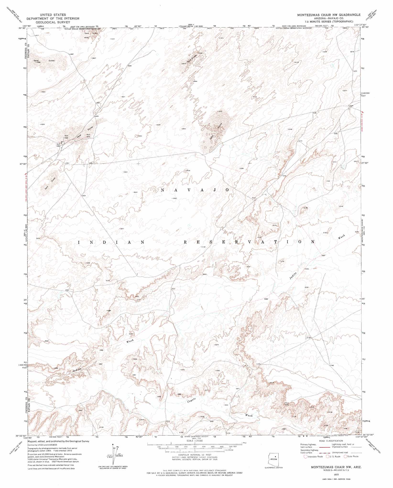
USGS Topo Quad 35110d6 - 1:24,000 scale
| Topo Map Name: | Montezumas Chair Nw |
| USGS Topo Quad ID: | 35110d6 |
| Print Size: | ca. 21 1/4" wide x 27" high |
| Southeast Coordinates: | 35.375° N latitude / 110.625° W longitude |
| Map Center Coordinates: | 35.4375° N latitude / 110.6875° W longitude |
| U.S. State: | AZ |
| Filename: | o35110d6.jpg |
| Download Map JPG Image: | Montezumas Chair Nw topo map 1:24,000 scale |
| Map Type: | Topographic |
| Topo Series: | 7.5´ |
| Map Scale: | 1:24,000 |
| Source of Map Images: | United States Geological Survey (USGS) |
| Alternate Map Versions: |
Montezumas Chair NW AZ 1972, updated 1975 Download PDF Buy paper map Montezumas Chair NW AZ 2011 Download PDF Buy paper map Montezumas Chair NW AZ 2014 Download PDF Buy paper map |
1:24,000 Topo Quads surrounding Montezumas Chair Nw
Sand Springs |
Garces Mesas Ne |
Burro Spring |
Giants Chair |
Snake Butte |
Monument Point |
Garces Mesas Se |
Tovar Mesa West |
Tovar Mesa East |
Egloffstein Butte |
Newberry Mesa |
Tolani Lake |
Montezumas Chair Nw |
Montezumas Chair |
Shonto Butte |
Old Leupp |
East Of Old Leupp |
Bird Springs Wash |
Elephant Butte |
Chimney Butte |
Tucker Mesa Nw |
Tucker Mesa Ne |
Winslow Nw |
Winslow Ne |
Standing Horse Mesa |
> Back to 35110a1 at 1:100,000 scale
> Back to 35110a1 at 1:250,000 scale
> Back to U.S. Topo Maps home
Montezumas Chair Nw topo map: Gazetteer
Montezumas Chair Nw: Valleys
Coyote Wash elevation 1547m 5075′Coyote Wash elevation 1507m 4944′
Montezumas Chair Nw digital topo map on disk
Buy this Montezumas Chair Nw topo map showing relief, roads, GPS coordinates and other geographical features, as a high-resolution digital map file on DVD: