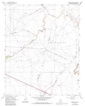
Babbitt Wash Topo Map Arizona
To zoom in, hover over the map of Babbitt Wash
USGS Topo Quad 35111b2 - 1:24,000 scale
| Topo Map Name: | Babbitt Wash |
| USGS Topo Quad ID: | 35111b2 |
| Print Size: | ca. 21 1/4" wide x 27" high |
| Southeast Coordinates: | 35.125° N latitude / 111.125° W longitude |
| Map Center Coordinates: | 35.1875° N latitude / 111.1875° W longitude |
| U.S. State: | AZ |
| Filename: | o35111b2.jpg |
| Download Map JPG Image: | Babbitt Wash topo map 1:24,000 scale |
| Map Type: | Topographic |
| Topo Series: | 7.5´ |
| Map Scale: | 1:24,000 |
| Source of Map Images: | United States Geological Survey (USGS) |
| Alternate Map Versions: |
Babbitt Wash AZ 1968, updated 1971 Download PDF Buy paper map Babbitt Wash AZ 1968, updated 1983 Download PDF Buy paper map Babbitt Wash AZ 2011 Download PDF Buy paper map Babbitt Wash AZ 2014 Download PDF Buy paper map |
1:24,000 Topo Quads surrounding Babbitt Wash
> Back to 35111a1 at 1:100,000 scale
> Back to 35110a1 at 1:250,000 scale
> Back to U.S. Topo Maps home
Babbitt Wash topo map: Gazetteer
Babbitt Wash: Crossings
Buffalo Road Interchange elevation 1738m 5702′Babbitt Wash: Reservoirs
Reservation Tank elevation 1702m 5583′Babbitt Wash: Streams
Babbitt Wash elevation 1586m 5203′San Francisco Wash elevation 1584m 5196′
Babbitt Wash: Valleys
Locust Canyon elevation 1603m 5259′Youngs Canyon elevation 1653m 5423′
Babbitt Wash: Wells
Reservation Well elevation 1718m 5636′Babbitt Wash digital topo map on disk
Buy this Babbitt Wash topo map showing relief, roads, GPS coordinates and other geographical features, as a high-resolution digital map file on DVD:


