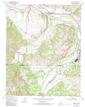
Bradley Topo Map California
To zoom in, hover over the map of Bradley
USGS Topo Quad 35120g7 - 1:24,000 scale
| Topo Map Name: | Bradley |
| USGS Topo Quad ID: | 35120g7 |
| Print Size: | ca. 21 1/4" wide x 27" high |
| Southeast Coordinates: | 35.75° N latitude / 120.75° W longitude |
| Map Center Coordinates: | 35.8125° N latitude / 120.8125° W longitude |
| U.S. State: | CA |
| Filename: | o35120g7.jpg |
| Download Map JPG Image: | Bradley topo map 1:24,000 scale |
| Map Type: | Topographic |
| Topo Series: | 7.5´ |
| Map Scale: | 1:24,000 |
| Source of Map Images: | United States Geological Survey (USGS) |
| Alternate Map Versions: |
Bradley CA 1949, updated 1953 Download PDF Buy paper map Bradley CA 1949, updated 1970 Download PDF Buy paper map Bradley CA 1949, updated 1970 Download PDF Buy paper map Bradley CA 1949, updated 1979 Download PDF Buy paper map Bradley CA 1949, updated 1979 Download PDF Buy paper map Bradley CA 1949, updated 1983 Download PDF Buy paper map Bradley CA 1949, updated 1983 Download PDF Buy paper map Bradley CA 2012 Download PDF Buy paper map Bradley CA 2015 Download PDF Buy paper map |
1:24,000 Topo Quads surrounding Bradley
> Back to 35120e1 at 1:100,000 scale
> Back to 35120a1 at 1:250,000 scale
> Back to U.S. Topo Maps home
Bradley topo map: Gazetteer
Bradley: Populated Places
Bradley elevation 167m 547′Bradley: Streams
Nacimiento River elevation 178m 583′San Antonio River elevation 152m 498′
Bradley: Valleys
Buttle Canyon elevation 178m 583′Hames Valley elevation 154m 505′
Hare Canyon elevation 170m 557′
Kemp Canyon elevation 181m 593′
Oro Fino Canyon elevation 183m 600′
Portuguese Canyon elevation 160m 524′
Sulphur Canyon elevation 191m 626′
Bradley: Wells
King Well elevation 225m 738′Pleyto Well elevation 182m 597′
Bradley digital topo map on disk
Buy this Bradley topo map showing relief, roads, GPS coordinates and other geographical features, as a high-resolution digital map file on DVD:


