Martin Point Topo Map North Carolina
To zoom in, hover over the map of Martin Point
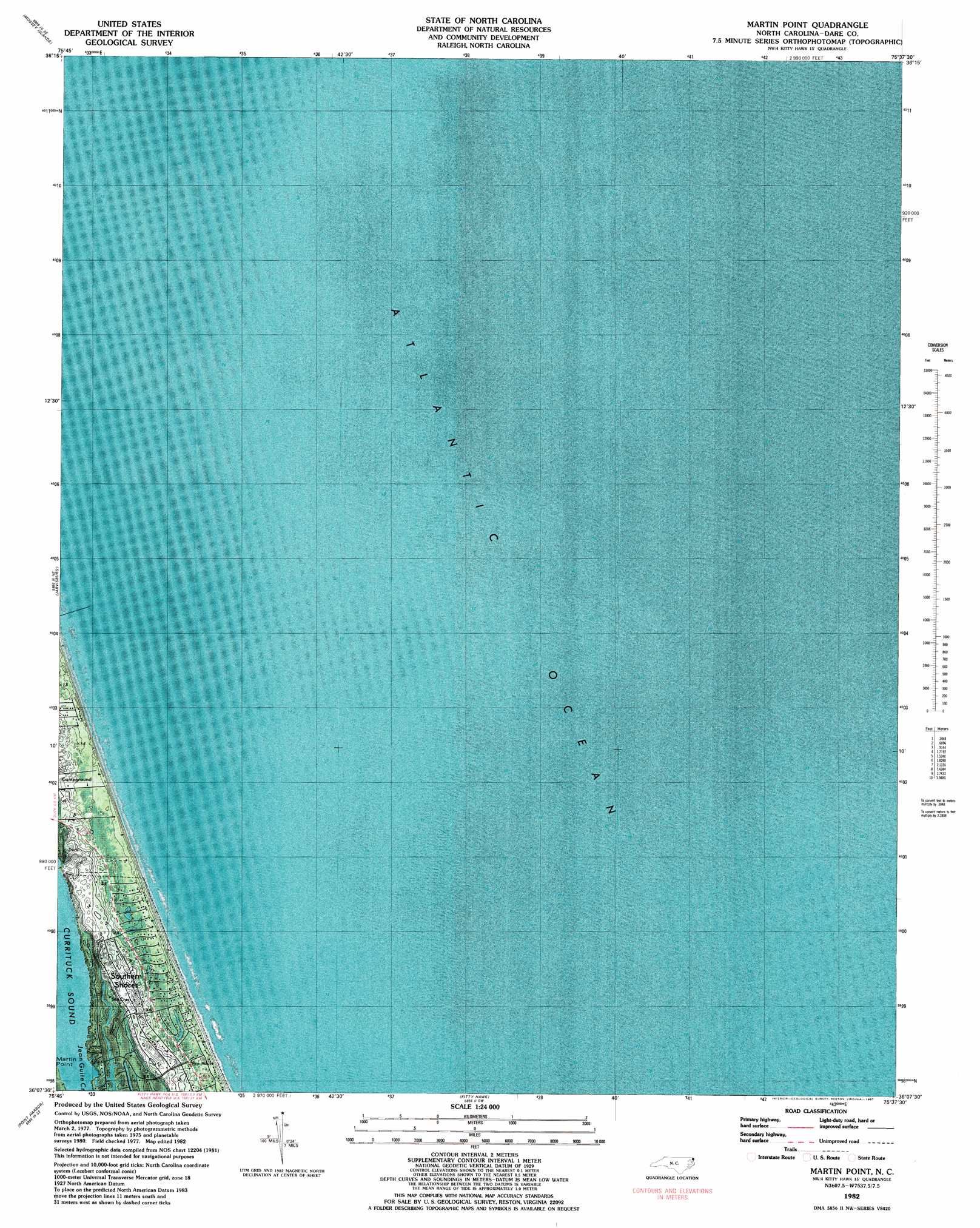
USGS Topo Quad 36075b6 - 1:24,000 scale
| Topo Map Name: | Martin Point |
| USGS Topo Quad ID: | 36075b6 |
| Print Size: | ca. 21 1/4" wide x 27" high |
| Southeast Coordinates: | 36.125° N latitude / 75.625° W longitude |
| Map Center Coordinates: | 36.1875° N latitude / 75.6875° W longitude |
| U.S. State: | NC |
| Filename: | p36075b6.jpg |
| Download Map JPG Image: | Martin Point topo map 1:24,000 scale |
| Map Type: | Orthophoto |
| Topo Series: | 7.5´ |
| Map Scale: | 1:24,000 |
| Source of Map Images: | United States Geological Survey (USGS) |
| Alternate Map Versions: |
Martin Point NC 1982, updated 1983 Download PDF Buy paper map Martin Point NC 2010 Download PDF Buy paper map Martin Point NC 2013 Download PDF Buy paper map Martin Point NC 2016 Download PDF Buy paper map |
1:24,000 Topo Quads surrounding Martin Point
Barco |
Corolla |
|||
Coinjock |
Mossey Islands |
|||
Camden Point |
Jarvisburg |
Martin Point |
||
Point Harbor |
Kitty Hawk |
|||
East Lake |
Manns Harbor |
Manteo |
Roanoke Island Ne |
> Back to 36075a1 at 1:100,000 scale
> Back to 36074a1 at 1:250,000 scale
> Back to U.S. Topo Maps home
Martin Point topo map: Gazetteer
Martin Point: Populated Places
George Town Sands elevation 3m 9′Hargraves Bench elevation 3m 9′
Jay Crest elevation 13m 42′
Ocean Dunes elevation 3m 9′
Poteskeet Village elevation 3m 9′
Sand Dollar Shores elevation 2m 6′
Sea Hawk elevation 9m 29′
Southern Shores elevation 5m 16′
The Tides elevation 2m 6′
Tuckahoe elevation 9m 29′
Martin Point: Streams
Jean Guite Creek elevation 0m 0′Martin Point digital topo map on disk
Buy this Martin Point topo map showing relief, roads, GPS coordinates and other geographical features, as a high-resolution digital map file on DVD:
Atlantic Coast (NY, NJ, PA, DE, MD, VA, NC)
Buy digital topo maps: Atlantic Coast (NY, NJ, PA, DE, MD, VA, NC)
 map DVD")