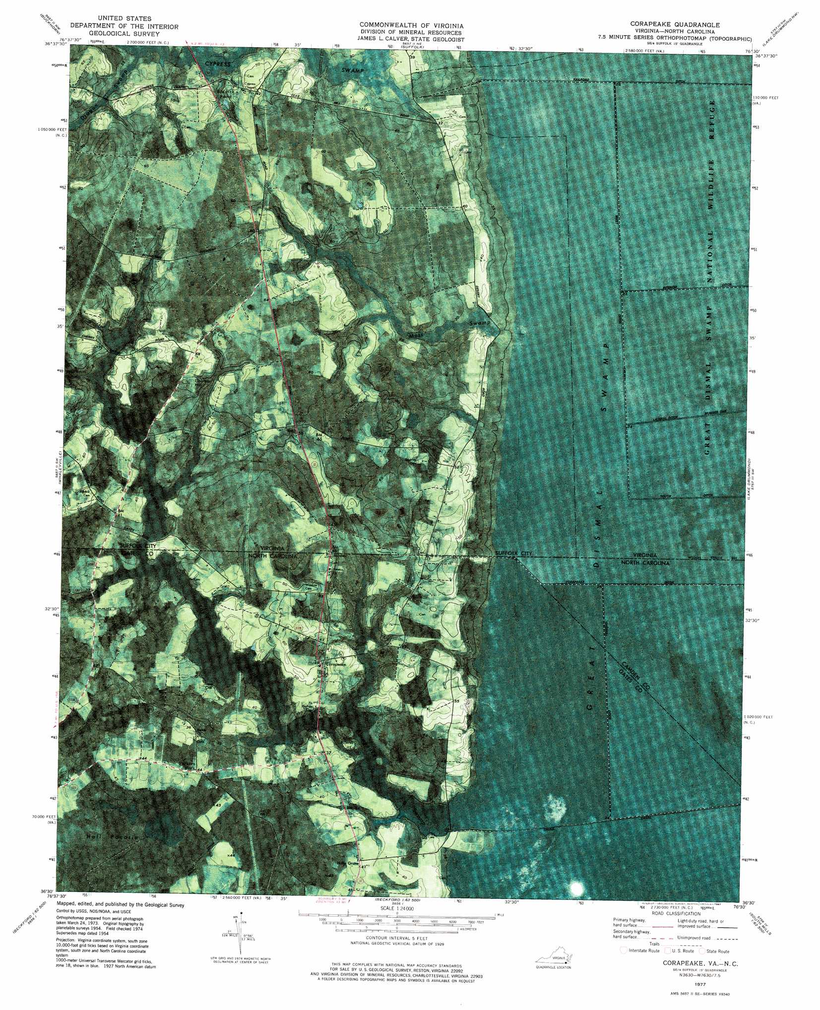
Corapeake Topo Map Virginia
To zoom in, hover over the map of Corapeake
USGS Topo Quad 36076e5 - 1:24,000 scale
| Topo Map Name: | Corapeake |
| USGS Topo Quad ID: | 36076e5 |
| Print Size: | ca. 21 1/4" wide x 27" high |
| Southeast Coordinates: | 36.5° N latitude / 76.5° W longitude |
| Map Center Coordinates: | 36.5625° N latitude / 76.5625° W longitude |
| U.S. States: | VA, NC |
| Filename: | p36076e5.jpg |
| Download Map JPG Image: | Corapeake topo map 1:24,000 scale |
| Map Type: | Orthophoto |
| Topo Series: | 7.5´ |
| Map Scale: | 1:24,000 |
| Source of Map Images: | United States Geological Survey (USGS) |
| Alternate Map Versions: |
Corapeake NC 1954, updated 1955 Download PDF Buy paper map Corapeake NC 1977, updated 1978 Download PDF Buy paper map Corapeake NC 1977, updated 1987 Download PDF Buy paper map Corapeake NC 2011 Download PDF Buy paper map Corapeake NC 2013 Download PDF Buy paper map Corapeake NC 2016 Download PDF Buy paper map |
1:24,000 Topo Quads surrounding Corapeake
Zuni |
Windsor |
Chuckatuck |
Bowers Hill |
Norfolk South |
Holland |
Buckhorn |
Suffolk |
Lake Drummond Nw |
Deep Creek |
Gates |
Whaleyville |
Corapeake |
Lake Drummond |
Lake Drummond Se |
Gatesville |
Merchants Millpond |
Sunbury |
Lynchs Corner |
South Mills |
Harrellsville |
Mintonsville |
Hobbsville |
Chapanoke |
Pasquotank |
> Back to 36076e1 at 1:100,000 scale
> Back to 36076a1 at 1:250,000 scale
> Back to U.S. Topo Maps home
Corapeake topo map: Gazetteer
Corapeake: Canals
Folly Ditch elevation 11m 36′Interior Ditch elevation 6m 19′
Railroad Ditch elevation 6m 19′
Sherrill Ditch elevation 6m 19′
West Ditch elevation 6m 19′
Corapeake: Islands
Ure Island elevation 12m 39′Corapeake: Lakes
Riddick Pond elevation 11m 36′Corapeake: Populated Places
Corapeake elevation 14m 45′Holly Grove elevation 12m 39′
Parkers Fork elevation 13m 42′
Corapeake: Reservoirs
Jones Millpond elevation 9m 29′Corapeake: Streams
Adams Swamp elevation 9m 29′Corapeake Swamp elevation 6m 19′
Dragon Swamp elevation 10m 32′
Moss Swamp elevation 7m 22′
Taylor Swamp elevation 7m 22′
Corapeake: Summits
Baines Hill elevation 20m 65′Corapeake: Swamps
Adams Swamp elevation 9m 29′Hall Pocosin elevation 11m 36′
Raby Pocoson (historical) elevation 19m 62′
Corapeake digital topo map on disk
Buy this Corapeake topo map showing relief, roads, GPS coordinates and other geographical features, as a high-resolution digital map file on DVD:
Atlantic Coast (NY, NJ, PA, DE, MD, VA, NC)
Buy digital topo maps: Atlantic Coast (NY, NJ, PA, DE, MD, VA, NC)
 map DVD")