Galen Topo Map Tennessee
To zoom in, hover over the map of Galen
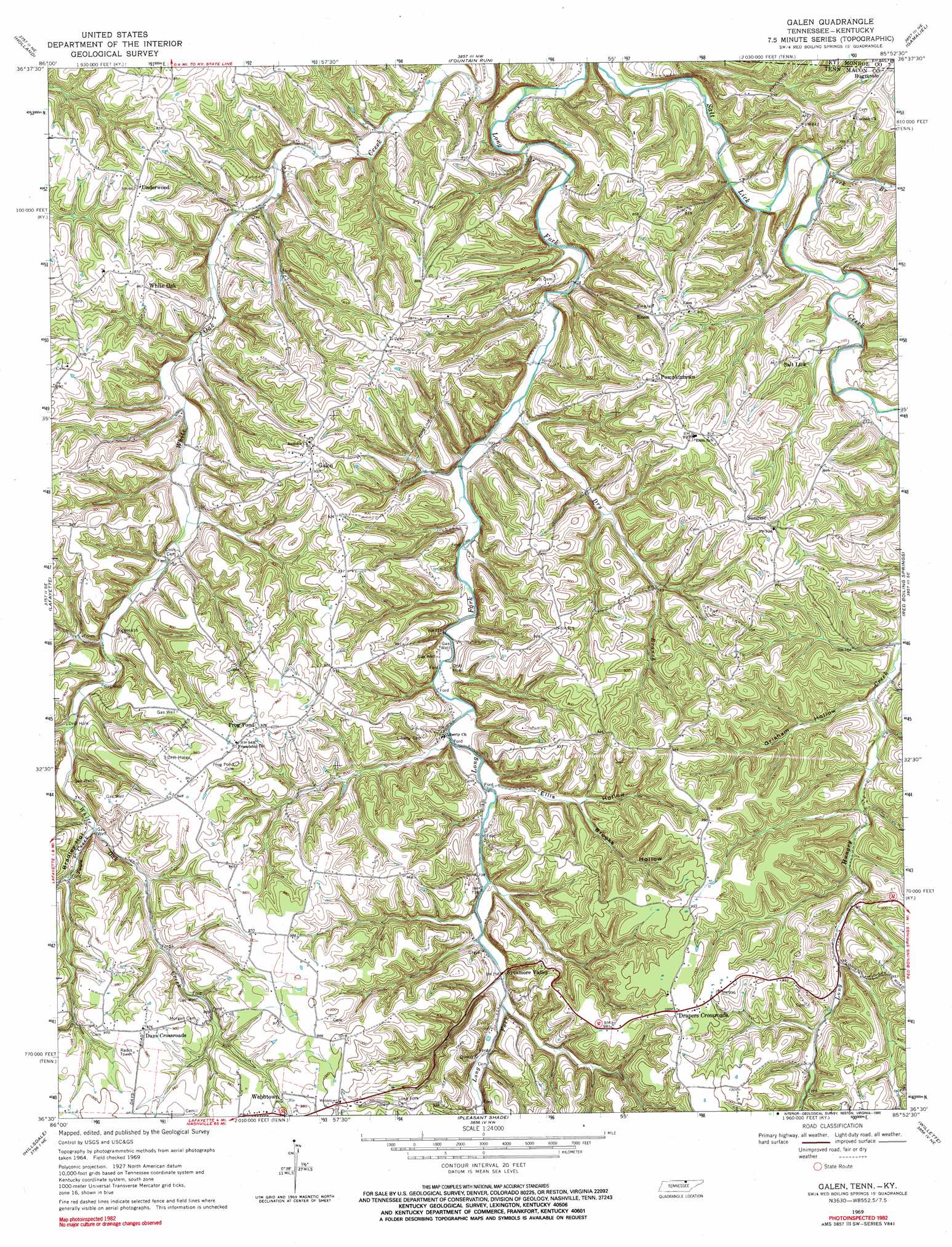
USGS Topo Quad 36085e8 - 1:24,000 scale
| Topo Map Name: | Galen |
| USGS Topo Quad ID: | 36085e8 |
| Print Size: | ca. 21 1/4" wide x 27" high |
| Southeast Coordinates: | 36.5° N latitude / 85.875° W longitude |
| Map Center Coordinates: | 36.5625° N latitude / 85.9375° W longitude |
| U.S. States: | TN, KY |
| Filename: | o36085e8.jpg |
| Download Map JPG Image: | Galen topo map 1:24,000 scale |
| Map Type: | Topographic |
| Topo Series: | 7.5´ |
| Map Scale: | 1:24,000 |
| Source of Map Images: | United States Geological Survey (USGS) |
| Alternate Map Versions: |
Galen TN 1969, updated 1971 Download PDF Buy paper map Galen TN 1969, updated 1990 Download PDF Buy paper map Galen TN 2010 Download PDF Buy paper map Galen TN 2013 Download PDF Buy paper map Galen TN 2016 Download PDF Buy paper map |
1:24,000 Topo Quads surrounding Galen
Scottsville |
Austin |
Tracy |
Freedom |
Sulphur Lick |
Petroleum |
Holland |
Fountain Run |
Gamaliel |
Tompkinsville |
Westmoreland |
Lafayette |
Galen |
Red Boiling Springs |
Union Hill |
Hartsville |
Hillsdale |
Pleasant Shade |
Willette |
Whitleyville |
Bellwood |
Dixon Springs |
Carthage |
Granville |
Gainesboro |
> Back to 36085e1 at 1:100,000 scale
> Back to 36084a1 at 1:250,000 scale
> Back to U.S. Topo Maps home
Galen topo map: Gazetteer
Galen: Populated Places
Days Crossroads elevation 297m 974′Drapers Crossroads elevation 309m 1013′
Enon elevation 265m 869′
Frog Pond elevation 294m 964′
Galen elevation 281m 921′
Pumpkintown elevation 276m 905′
Sunrise elevation 286m 938′
Sycamore Valley elevation 269m 882′
Underwood elevation 265m 869′
Webbtown elevation 301m 987′
White Oak elevation 264m 866′
Galen: Streams
Dry Branch elevation 205m 672′Town Creek elevation 240m 787′
York Branch elevation 201m 659′
Galen: Valleys
Bradley Hollow elevation 241m 790′Brooks Hollow elevation 232m 761′
Ellis Hollow elevation 219m 718′
Grisham Hollow elevation 223m 731′
Moss Hollow elevation 238m 780′
Galen digital topo map on disk
Buy this Galen topo map showing relief, roads, GPS coordinates and other geographical features, as a high-resolution digital map file on DVD: