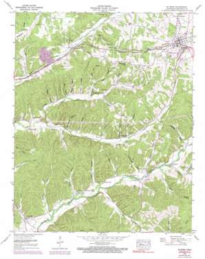
Mcewen Topo Map Tennessee
To zoom in, hover over the map of Mcewen
USGS Topo Quad 36087a6 - 1:24,000 scale
| Topo Map Name: | Mcewen |
| USGS Topo Quad ID: | 36087a6 |
| Print Size: | ca. 21 1/4" wide x 27" high |
| Southeast Coordinates: | 36° N latitude / 87.625° W longitude |
| Map Center Coordinates: | 36.0625° N latitude / 87.6875° W longitude |
| U.S. State: | TN |
| Filename: | o36087a6.jpg |
| Download Map JPG Image: | Mcewen topo map 1:24,000 scale |
| Map Type: | Topographic |
| Topo Series: | 7.5´ |
| Map Scale: | 1:24,000 |
| Source of Map Images: | United States Geological Survey (USGS) |
| Alternate Map Versions: |
Gorman TN 1936 Download PDF Buy paper map Mc Ewen TN 1952, updated 1957 Download PDF Buy paper map Mc Ewen TN 1952, updated 1974 Download PDF Buy paper map Mc Ewen TN 1952, updated 1990 Download PDF Buy paper map McEwen TN 2010 Download PDF Buy paper map McEwen TN 2013 Download PDF Buy paper map McEwen TN 2016 Download PDF Buy paper map |
1:24,000 Topo Quads surrounding Mcewen
> Back to 36087a1 at 1:100,000 scale
> Back to 36086a1 at 1:250,000 scale
> Back to U.S. Topo Maps home
Mcewen topo map: Gazetteer
Mcewen: Airports
Humphreys County Airport elevation 222m 728′Mcewen: Bridges
McCandless Bridge (historical) elevation 150m 492′Mcewen: Populated Places
Bethpage elevation 164m 538′Forks of Blue Creek elevation 149m 488′
Gorman elevation 194m 636′
Liberty elevation 176m 577′
McEwen elevation 253m 830′
New Hope elevation 157m 515′
Mcewen: Ridges
Stephany Ridge elevation 226m 741′Mcewen: Springs
Breadens Spring elevation 152m 498′Forsee Spring elevation 150m 492′
Hunter Spring elevation 149m 488′
Long Spring elevation 145m 475′
Shiloh Spring elevation 163m 534′
Simpson Spring elevation 143m 469′
Mcewen: Streams
Brushy Spring Branch elevation 181m 593′Conley Branch elevation 197m 646′
Little Blue Creek elevation 143m 469′
Little Hurricane Creek elevation 155m 508′
Marker Branch elevation 145m 475′
Vaden Branch elevation 148m 485′
Mcewen: Summits
Balding Knob elevation 237m 777′Slaughter Hill elevation 246m 807′
Mcewen: Valleys
Baker Hollow elevation 152m 498′Burns Hollow elevation 189m 620′
Bushwacker Hollow elevation 157m 515′
Butts Hollow elevation 164m 538′
Campground Hollow elevation 158m 518′
Choate Hollow elevation 169m 554′
Craft Hollow elevation 177m 580′
Douglass Hollow elevation 163m 534′
Dunn Hollow elevation 194m 636′
Enoch Hollow elevation 177m 580′
Goodrich Hollow elevation 141m 462′
Hedge Hollow elevation 155m 508′
Johnson Hollow elevation 146m 479′
Jones Hollow elevation 165m 541′
Mackins Hollow elevation 144m 472′
May Hollow elevation 155m 508′
Mill Hollow elevation 158m 518′
Mitchell Hollow elevation 177m 580′
Moon Hollow elevation 182m 597′
Mullinax Hollow elevation 173m 567′
O'Neal Hollow elevation 164m 538′
Petty Hollow elevation 155m 508′
Slaughter Hollow elevation 162m 531′
Stringer Hollow elevation 163m 534′
Trogden Hollow elevation 151m 495′
Mcewen digital topo map on disk
Buy this Mcewen topo map showing relief, roads, GPS coordinates and other geographical features, as a high-resolution digital map file on DVD:


