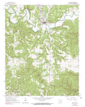
Yellville Topo Map Arkansas
To zoom in, hover over the map of Yellville
USGS Topo Quad 36092b6 - 1:24,000 scale
| Topo Map Name: | Yellville |
| USGS Topo Quad ID: | 36092b6 |
| Print Size: | ca. 21 1/4" wide x 27" high |
| Southeast Coordinates: | 36.125° N latitude / 92.625° W longitude |
| Map Center Coordinates: | 36.1875° N latitude / 92.6875° W longitude |
| U.S. State: | AR |
| Filename: | o36092b6.jpg |
| Download Map JPG Image: | Yellville topo map 1:24,000 scale |
| Map Type: | Topographic |
| Topo Series: | 7.5´ |
| Map Scale: | 1:24,000 |
| Source of Map Images: | United States Geological Survey (USGS) |
| Alternate Map Versions: |
Yellville AR 1966, updated 1967 Download PDF Buy paper map Yellville AR 1966, updated 1967 Download PDF Buy paper map Yellville AR 2011 Download PDF Buy paper map Yellville AR 2014 Download PDF Buy paper map |
1:24,000 Topo Quads surrounding Yellville
> Back to 36092a1 at 1:100,000 scale
> Back to 36092a1 at 1:250,000 scale
> Back to U.S. Topo Maps home
Yellville topo map: Gazetteer
Yellville: Airports
Burns Funeral Home Parking Lot Heliport elevation 195m 639′Yellville: Arches
Ralph Natural Bridge elevation 251m 823′Yellville: Pillars
Standing Rock elevation 247m 810′Yellville: Populated Places
Big Springs (historical) elevation 265m 869′Cowan elevation 260m 853′
Ralph elevation 267m 875′
Yellville elevation 189m 620′
Yellville: Springs
Glenn Spring elevation 293m 961′Gray Spring elevation 248m 813′
Yellville: Streams
Campground Creek elevation 168m 551′Dean Branch elevation 173m 567′
East Prong Town Branch elevation 179m 587′
Georges Creek elevation 185m 606′
Hogskin Creek elevation 159m 521′
Hurricane Creek elevation 156m 511′
Mill Creek elevation 163m 534′
Neilon Creek elevation 308m 1010′
Shakerag Creek elevation 182m 597′
Town Branch elevation 163m 534′
Yellville: Summits
Bald Jesse elevation 365m 1197′Goard Point elevation 381m 1250′
Yellville digital topo map on disk
Buy this Yellville topo map showing relief, roads, GPS coordinates and other geographical features, as a high-resolution digital map file on DVD:


