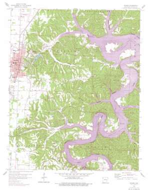
Rogers Topo Map Arkansas
To zoom in, hover over the map of Rogers
USGS Topo Quad 36094c1 - 1:24,000 scale
| Topo Map Name: | Rogers |
| USGS Topo Quad ID: | 36094c1 |
| Print Size: | ca. 21 1/4" wide x 27" high |
| Southeast Coordinates: | 36.25° N latitude / 94° W longitude |
| Map Center Coordinates: | 36.3125° N latitude / 94.0625° W longitude |
| U.S. State: | AR |
| Filename: | o36094c1.jpg |
| Download Map JPG Image: | Rogers topo map 1:24,000 scale |
| Map Type: | Topographic |
| Topo Series: | 7.5´ |
| Map Scale: | 1:24,000 |
| Source of Map Images: | United States Geological Survey (USGS) |
| Alternate Map Versions: |
Rogers AR 1958, updated 1959 Download PDF Buy paper map Rogers AR 1958, updated 1963 Download PDF Buy paper map Rogers AR 1958, updated 1977 Download PDF Buy paper map Rogers AR 1958, updated 1977 Download PDF Buy paper map Rogers AR 2011 Download PDF Buy paper map Rogers AR 2014 Download PDF Buy paper map |
1:24,000 Topo Quads surrounding Rogers
> Back to 36094a1 at 1:100,000 scale
> Back to 36094a1 at 1:250,000 scale
> Back to U.S. Topo Maps home
Rogers topo map: Gazetteer
Rogers: Airports
Rogers Municipal Airport elevation 412m 1351′Rogers: Bays
Blackburn Arm elevation 342m 1122′Ricewood Cove elevation 342m 1122′
Rogers: Bends
Horseshoe Bend elevation 342m 1122′Rogers: Bridges
White River Bridge elevation 348m 1141′Rogers: Cliffs
Devils Head Bluff elevation 373m 1223′Eden Bluff elevation 356m 1167′
McElhaney Bluff elevation 342m 1122′
Rogers: Crossings
Disney Ferry (historical) elevation 342m 1122′Eden Ford (historical) elevation 342m 1122′
Van Winkle Ferry (historical) elevation 342m 1122′
Rogers: Dams
Lake Atalanta Dam elevation 366m 1200′Rogers: Islands
Standing Rock (historical) elevation 342m 1122′Rogers: Parks
Horseshoe Bend Public Use Area elevation 343m 1125′Prairie Creek Public Use Area elevation 344m 1128′
Rogers: Populated Places
Beaver Shores elevation 399m 1309′Clear Point elevation 385m 1263′
Cross Hollow elevation 372m 1220′
Electric Springs (historical) elevation 363m 1190′
Frisco elevation 413m 1354′
Frisco Springs (historical) elevation 408m 1338′
Hickory Creek elevation 354m 1161′
Key (historical) elevation 347m 1138′
Monte Ne elevation 346m 1135′
Monte Ne Shores elevation 350m 1148′
Oak Grove elevation 366m 1200′
Pleasant Ridge elevation 424m 1391′
Prairie Creek elevation 428m 1404′
Puckett (historical) elevation 342m 1122′
Rogers elevation 417m 1368′
Silver Springs (historical) elevation 342m 1122′
Rogers: Post Offices
Puckett Post Office (historical) elevation 342m 1122′Rogers Post Office elevation 421m 1381′
Rogers: Reservoirs
Lake Atalanta elevation 366m 1200′Rogers: Ridges
Pleasant Ridge elevation 430m 1410′Rogers: Springs
Diamond Spring elevation 374m 1227′Electric Springs elevation 367m 1204′
Esculapia Spring elevation 389m 1276′
Frisco Springs elevation 388m 1272′
Mayo Spring elevation 359m 1177′
Rogers: Streams
Bear Creek elevation 342m 1122′Blackburn Creek elevation 342m 1122′
Joe Creek elevation 348m 1141′
Monte Ne Branch elevation 342m 1122′
Phillips Creek elevation 342m 1122′
Pine Creek elevation 342m 1122′
Prairie Creek elevation 341m 1118′
Rogers: Valleys
Coose Hollow elevation 342m 1122′Dream Valley elevation 350m 1148′
Esculapia Hollow elevation 342m 1122′
Falls Hollow elevation 343m 1125′
Monte Ne Valley elevation 342m 1122′
Nelson Hollow elevation 342m 1122′
Standing Rock Hollow elevation 342m 1122′
Sugar Hollow elevation 346m 1135′
Rogers digital topo map on disk
Buy this Rogers topo map showing relief, roads, GPS coordinates and other geographical features, as a high-resolution digital map file on DVD:


