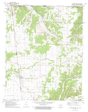
Colcord Ne Topo Map Arkansas
To zoom in, hover over the map of Colcord Ne
USGS Topo Quad 36094d5 - 1:24,000 scale
| Topo Map Name: | Colcord Ne |
| USGS Topo Quad ID: | 36094d5 |
| Print Size: | ca. 21 1/4" wide x 27" high |
| Southeast Coordinates: | 36.375° N latitude / 94.5° W longitude |
| Map Center Coordinates: | 36.4375° N latitude / 94.5625° W longitude |
| U.S. States: | AR, MO, OK |
| Filename: | o36094d5.jpg |
| Download Map JPG Image: | Colcord Ne topo map 1:24,000 scale |
| Map Type: | Topographic |
| Topo Series: | 7.5´ |
| Map Scale: | 1:24,000 |
| Source of Map Images: | United States Geological Survey (USGS) |
| Alternate Map Versions: |
Colcord NE AR 1971, updated 1973 Download PDF Buy paper map Colcord NE AR 2011 Download PDF Buy paper map Colcord NE AR 2014 Download PDF Buy paper map |
1:24,000 Topo Quads surrounding Colcord Ne
> Back to 36094a1 at 1:100,000 scale
> Back to 36094a1 at 1:250,000 scale
> Back to U.S. Topo Maps home
Colcord Ne topo map: Gazetteer
Colcord Ne: Areas
Batson Prairie elevation 364m 1194′Beatie Prairie elevation 336m 1102′
Colcord Ne: Populated Places
Beaty elevation 348m 1141′Cave (historical) elevation 332m 1089′
Checks Corner (historical) elevation 353m 1158′
Crump (historical) elevation 361m 1184′
Jaybird (historical) elevation 348m 1141′
Lee (historical) elevation 341m 1118′
Maysville elevation 318m 1043′
Miller Springs (historical) elevation 308m 1010′
Rome City (historical) elevation 322m 1056′
Wann (historical) elevation 309m 1013′
Colcord Ne: Post Offices
Maysville Post Office elevation 317m 1040′Colcord Ne: Streams
Chalybeate Creek elevation 291m 954′Town Creek elevation 301m 987′
Town Creek elevation 299m 980′
Colcord Ne digital topo map on disk
Buy this Colcord Ne topo map showing relief, roads, GPS coordinates and other geographical features, as a high-resolution digital map file on DVD:


