Cactus West Topo Map Texas
To zoom in, hover over the map of Cactus West
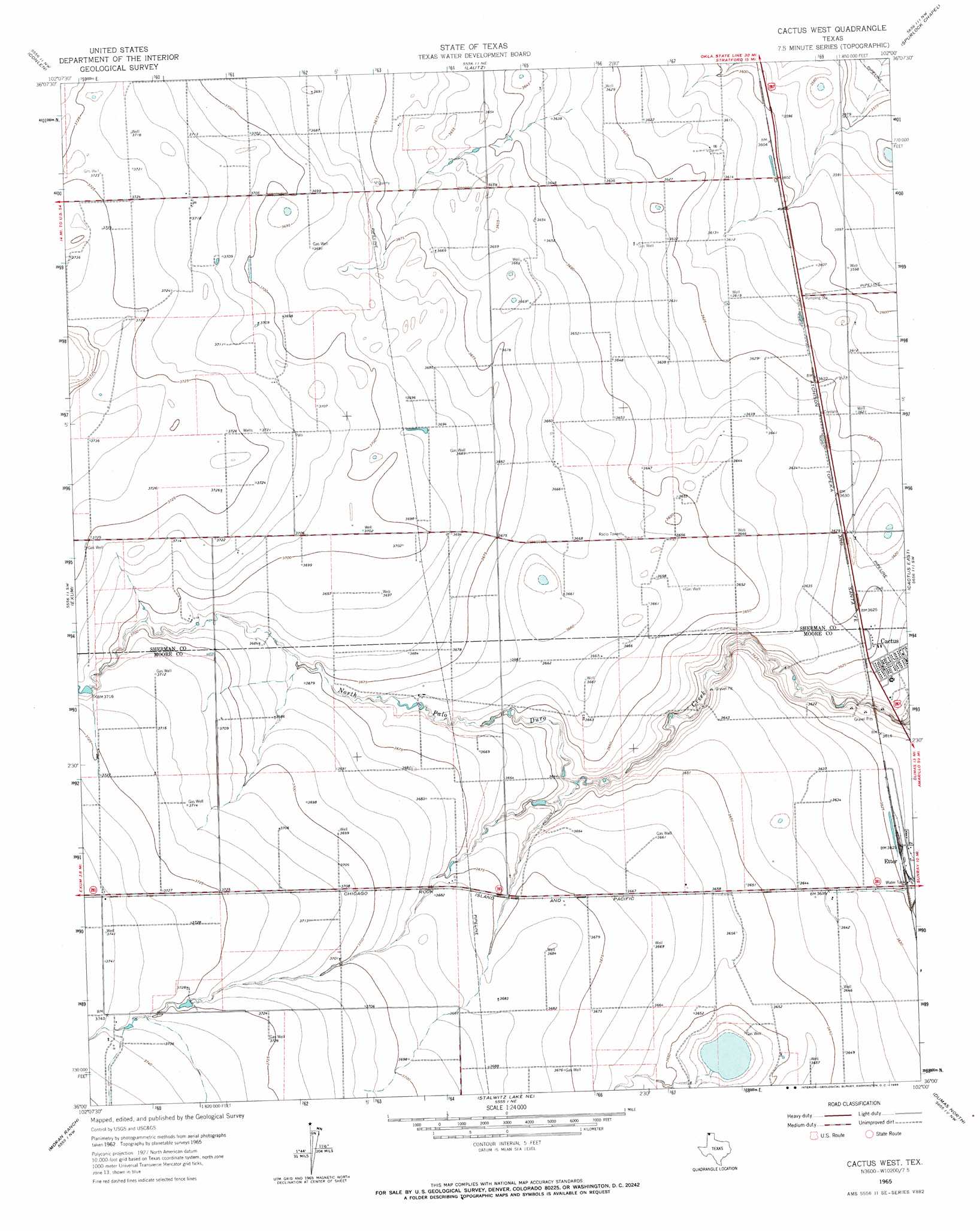
USGS Topo Quad 36102a1 - 1:24,000 scale
| Topo Map Name: | Cactus West |
| USGS Topo Quad ID: | 36102a1 |
| Print Size: | ca. 21 1/4" wide x 27" high |
| Southeast Coordinates: | 36° N latitude / 102° W longitude |
| Map Center Coordinates: | 36.0625° N latitude / 102.0625° W longitude |
| U.S. State: | TX |
| Filename: | o36102a1.jpg |
| Download Map JPG Image: | Cactus West topo map 1:24,000 scale |
| Map Type: | Topographic |
| Topo Series: | 7.5´ |
| Map Scale: | 1:24,000 |
| Source of Map Images: | United States Geological Survey (USGS) |
| Alternate Map Versions: |
Cactus West TX 1965, updated 1966 Download PDF Buy paper map Cactus West TX 2010 Download PDF Buy paper map Cactus West TX 2012 Download PDF Buy paper map Cactus West TX 2016 Download PDF Buy paper map |
1:24,000 Topo Quads surrounding Cactus West
Stratford 2 Se |
Brickel |
Stratford |
Stevens Sw |
Stevens Se |
Wilco Ne |
Conlen |
Lautz |
Spurlock Chapel |
Pleasure Pond |
Wilco |
Exum |
Cactus West |
Cactus East |
Sunray |
Hartley Ne |
Moran Ranch |
Stallwitz Lake Ne |
Dumas North |
Dumas Ne |
Hartley Se |
Bird Ranch Store |
Stallwitz Lake |
Dumas South |
Little Blue Creek |
> Back to 36102a1 at 1:100,000 scale
> Back to 36102a1 at 1:250,000 scale
> Back to U.S. Topo Maps home
Cactus West digital topo map on disk
Buy this Cactus West topo map showing relief, roads, GPS coordinates and other geographical features, as a high-resolution digital map file on DVD: