Fire Rock Well Topo Map New Mexico
To zoom in, hover over the map of Fire Rock Well
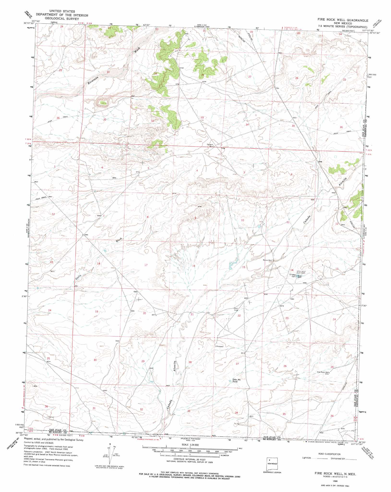
USGS Topo Quad 36107a6 - 1:24,000 scale
| Topo Map Name: | Fire Rock Well |
| USGS Topo Quad ID: | 36107a6 |
| Print Size: | ca. 21 1/4" wide x 27" high |
| Southeast Coordinates: | 36° N latitude / 107.625° W longitude |
| Map Center Coordinates: | 36.0625° N latitude / 107.6875° W longitude |
| U.S. State: | NM |
| Filename: | o36107a6.jpg |
| Download Map JPG Image: | Fire Rock Well topo map 1:24,000 scale |
| Map Type: | Topographic |
| Topo Series: | 7.5´ |
| Map Scale: | 1:24,000 |
| Source of Map Images: | United States Geological Survey (USGS) |
| Alternate Map Versions: |
Fire Rock Well NM 1966, updated 1969 Download PDF Buy paper map Fire Rock Well NM 1966, updated 1978 Download PDF Buy paper map Fire Rock Well NM 2010 Download PDF Buy paper map Fire Rock Well NM 2013 Download PDF Buy paper map |
1:24,000 Topo Quads surrounding Fire Rock Well
Huerfano Trading Post Sw |
Blanco Trading Post |
Crow Mesa West |
Crow Mesa East |
Tafoya Canyon |
Pueblo Bonito Nw |
Kimbeto |
Lybrook Nw |
Lybrook |
Counselor |
Pueblo Bonito |
Sargent Ranch |
Fire Rock Well |
Lybrook Se |
Mule Dam |
Seven Lakes Nw |
Seven Lakes Ne |
Pueblo Pintado |
Pueblo Alto Trading Post |
Star Lake |
Seven Lakes |
Seven Lakes Se |
Whitehorse |
Whitehorse Rincon |
Rincon Marquez |
> Back to 36107a1 at 1:100,000 scale
> Back to 36106a1 at 1:250,000 scale
> Back to U.S. Topo Maps home
Fire Rock Well topo map: Gazetteer
Fire Rock Well: Reservoirs
Dike Pit Tank elevation 1965m 6446′Fire Rock Well: Wells
Fire Rock Well elevation 1997m 6551′Marve Well elevation 1982m 6502′
Fire Rock Well digital topo map on disk
Buy this Fire Rock Well topo map showing relief, roads, GPS coordinates and other geographical features, as a high-resolution digital map file on DVD: