Hogansaani Spring Topo Map Arizona
To zoom in, hover over the map of Hogansaani Spring
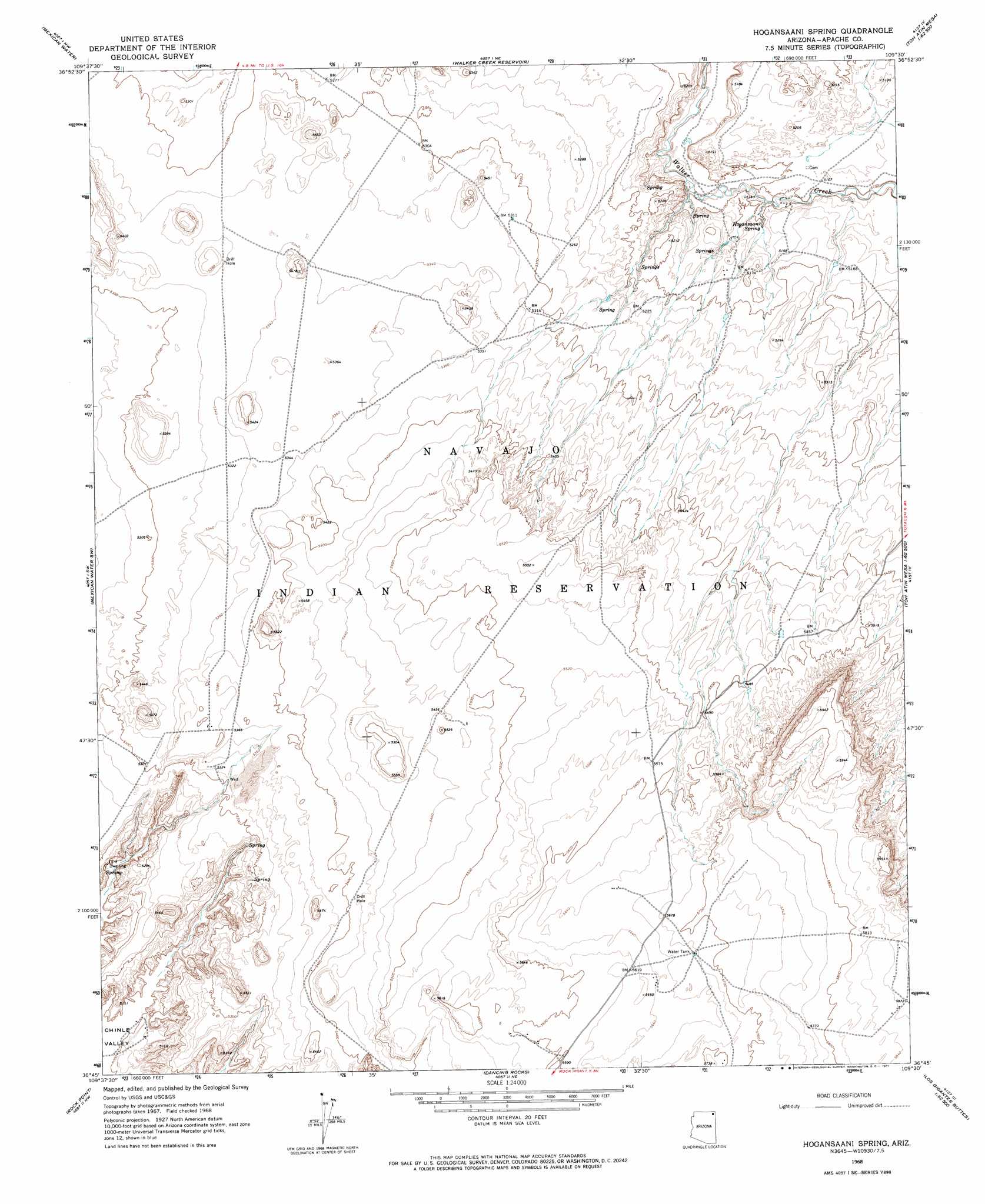
USGS Topo Quad 36109g5 - 1:24,000 scale
| Topo Map Name: | Hogansaani Spring |
| USGS Topo Quad ID: | 36109g5 |
| Print Size: | ca. 21 1/4" wide x 27" high |
| Southeast Coordinates: | 36.75° N latitude / 109.5° W longitude |
| Map Center Coordinates: | 36.8125° N latitude / 109.5625° W longitude |
| U.S. State: | AZ |
| Filename: | o36109g5.jpg |
| Download Map JPG Image: | Hogansaani Spring topo map 1:24,000 scale |
| Map Type: | Topographic |
| Topo Series: | 7.5´ |
| Map Scale: | 1:24,000 |
| Source of Map Images: | United States Geological Survey (USGS) |
| Alternate Map Versions: |
Hogansaani Spring AZ 1968, updated 1971 Download PDF Buy paper map Hogansaani Spring AZ 2011 Download PDF Buy paper map Hogansaani Spring AZ 2014 Download PDF Buy paper map |
1:24,000 Topo Quads surrounding Hogansaani Spring
Mexican Hat Se |
Moses Rock |
Boundary Butte |
Gray Spot Rock |
White Mesa Village Se |
Garnet Ridge |
Mexican Water |
Walker Creek Reservoir |
Toh Atin Mesa West |
Toh Atin Mesa East |
Dennehotso |
Mexican Water Sw |
Hogansaani Spring |
Walker Butte |
Toh Chin Lini Mesa |
Tall Mesa |
Rock Point |
Dancing Rocks |
White Area Canyon |
Kinusta Mesa |
White Point |
Rock Point Sw |
Little Round Rock |
Round Rock |
Mexican Cry Mesa |
> Back to 36109e1 at 1:100,000 scale
> Back to 36108a1 at 1:250,000 scale
> Back to U.S. Topo Maps home
Hogansaani Spring topo map: Gazetteer
Hogansaani Spring: Springs
Hogansaani Spring elevation 1554m 5098′Hogansaani Spring digital topo map on disk
Buy this Hogansaani Spring topo map showing relief, roads, GPS coordinates and other geographical features, as a high-resolution digital map file on DVD: