Gopher Spring Topo Map Arizona
To zoom in, hover over the map of Gopher Spring
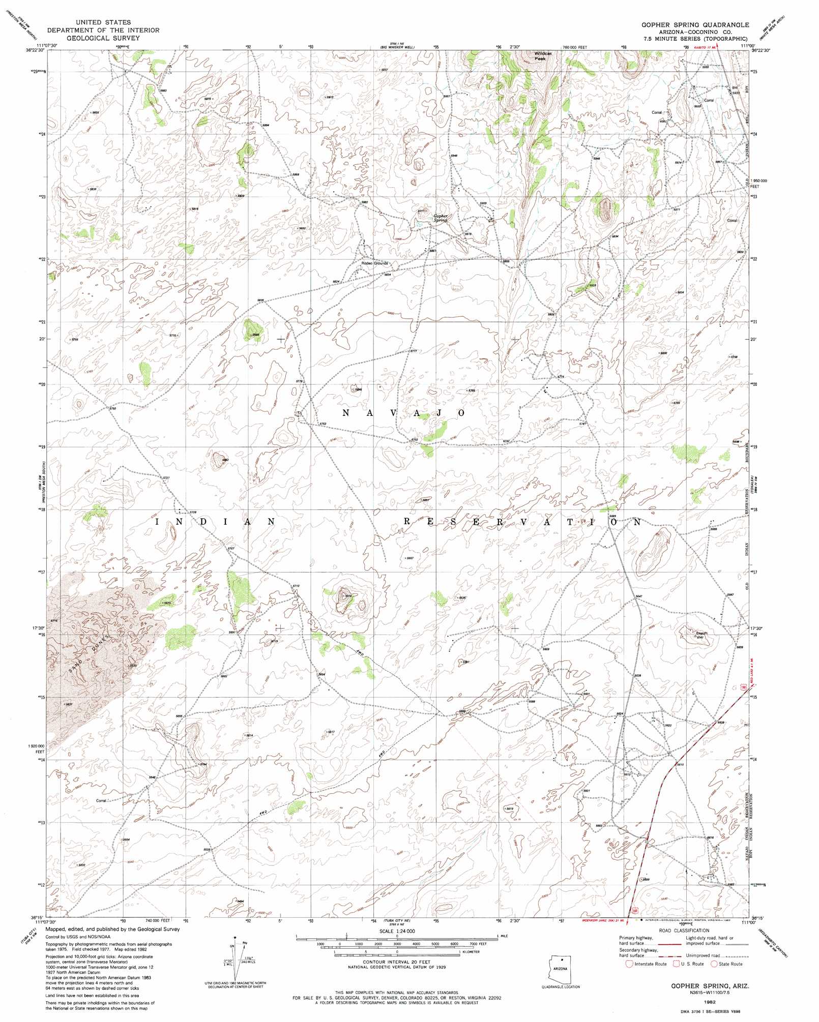
USGS Topo Quad 36111c1 - 1:24,000 scale
| Topo Map Name: | Gopher Spring |
| USGS Topo Quad ID: | 36111c1 |
| Print Size: | ca. 21 1/4" wide x 27" high |
| Southeast Coordinates: | 36.25° N latitude / 111° W longitude |
| Map Center Coordinates: | 36.3125° N latitude / 111.0625° W longitude |
| U.S. State: | AZ |
| Filename: | o36111c1.jpg |
| Download Map JPG Image: | Gopher Spring topo map 1:24,000 scale |
| Map Type: | Topographic |
| Topo Series: | 7.5´ |
| Map Scale: | 1:24,000 |
| Source of Map Images: | United States Geological Survey (USGS) |
| Alternate Map Versions: |
Gopher Spring AZ 1982, updated 1982 Download PDF Buy paper map Gopher Spring AZ 2011 Download PDF Buy paper map Gopher Spring AZ 2014 Download PDF Buy paper map |
1:24,000 Topo Quads surrounding Gopher Spring
Dove Spring Se |
Arrowhead Mesa |
Kaibito |
Square Butte |
Whirlwind Rock |
Sitting Coyote Hill |
Preston Mesa North |
Big Whisker Well |
White Mesa Arch |
Cow Springs |
Preston Well |
Preston Mesa South |
Gopher Spring |
Tonalea |
John Daw Mesa |
Moenave |
Tuba City |
Middle Mesa |
Begashibito Canyon |
Pillars Of Hercules |
Moenave Se |
Moenkopi |
Tuba City Se |
Bat Canyon |
Bat Spring |
> Back to 36111a1 at 1:100,000 scale
> Back to 36110a1 at 1:250,000 scale
> Back to U.S. Topo Maps home
Gopher Spring digital topo map on disk
Buy this Gopher Spring topo map showing relief, roads, GPS coordinates and other geographical features, as a high-resolution digital map file on DVD: