East of Reedville Topo Map Virginia
To zoom in, hover over the map of East of Reedville
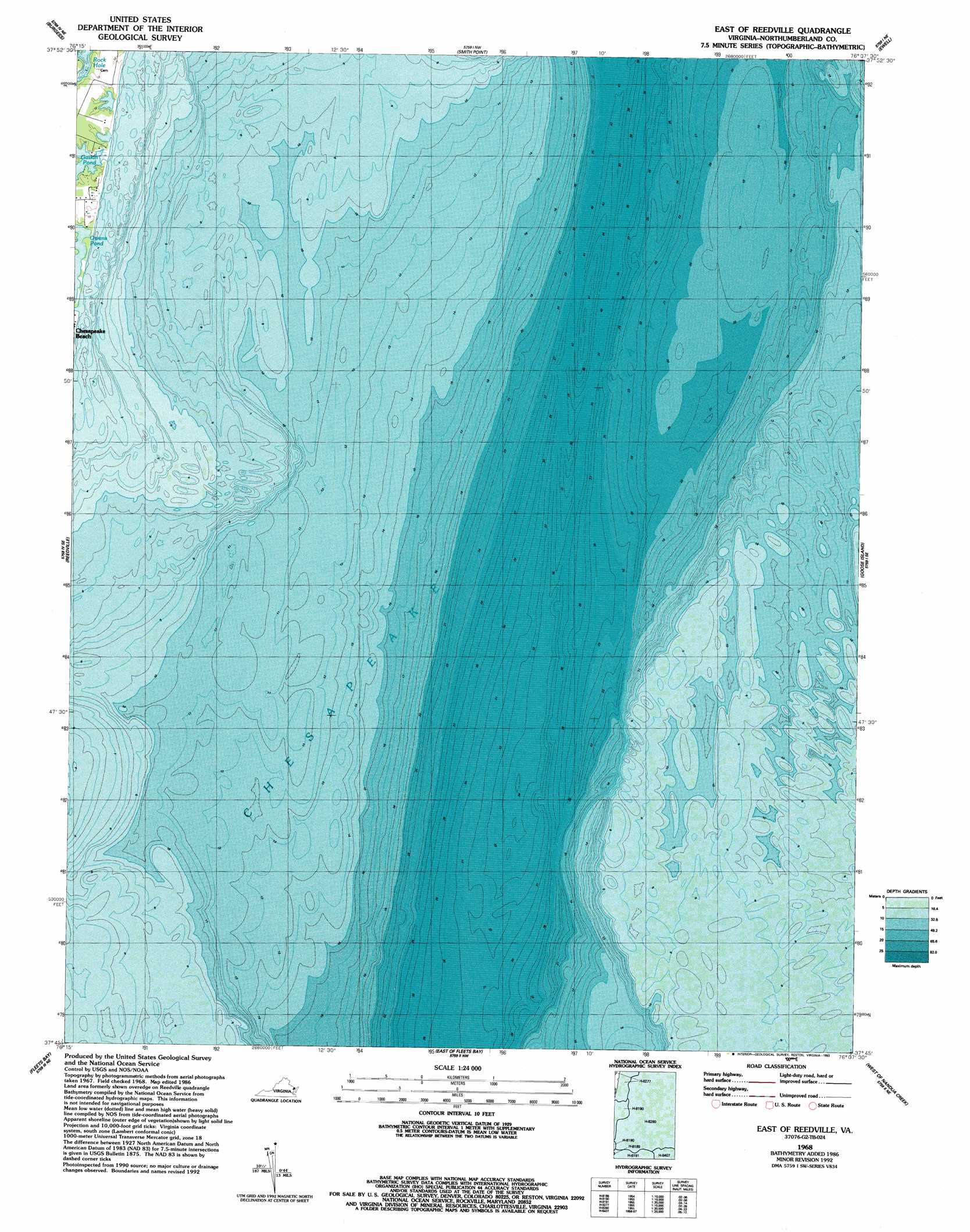
USGS Topo Quad 37076g2 - 1:24,000 scale
| Topo Map Name: | East of Reedville |
| USGS Topo Quad ID: | 37076g2 |
| Print Size: | ca. 21 1/4" wide x 27" high |
| Southeast Coordinates: | 37.75° N latitude / 76.125° W longitude |
| Map Center Coordinates: | 37.8125° N latitude / 76.1875° W longitude |
| U.S. State: | VA |
| Filename: | o37076g2.jpg |
| Download Map JPG Image: | East of Reedville topo map 1:24,000 scale |
| Map Type: | Topographic |
| Topo Series: | 7.5´ |
| Map Scale: | 1:24,000 |
| Source of Map Images: | United States Geological Survey (USGS) |
| Alternate Map Versions: |
East of Reedville VA 1968, updated 1987 Download PDF Buy paper map East of Reedville VA 1968, updated 1993 Download PDF Buy paper map East of Reedville VA 2011 Download PDF Buy paper map East of Reedville VA 2013 Download PDF Buy paper map East of Reedville VA 2016 Download PDF Buy paper map |
1:24,000 Topo Quads surrounding East of Reedville
Saint George Island |
Point Lookout |
East Of Point Lookout |
Kedges Straits |
Terrapin Sand Point |
Heathsville |
Burgess |
Smith Point |
Ewell |
Great Fox Island |
Lancaster |
Reedville |
East of Reedville |
Goose Island |
Tangier Island |
Irvington |
Fleets Bay |
East of Fleets Bay |
West Of Nandua Creek |
Nandua Creek |
Wilton |
Deltaville |
East Of Deltaville |
West Of Jamesville |
Jamesville |
> Back to 37076e1 at 1:100,000 scale
> Back to 37076a1 at 1:250,000 scale
> Back to U.S. Topo Maps home
East of Reedville digital topo map on disk
Buy this East of Reedville topo map showing relief, roads, GPS coordinates and other geographical features, as a high-resolution digital map file on DVD:
Atlantic Coast (NY, NJ, PA, DE, MD, VA, NC)
Buy digital topo maps: Atlantic Coast (NY, NJ, PA, DE, MD, VA, NC)
 map DVD")