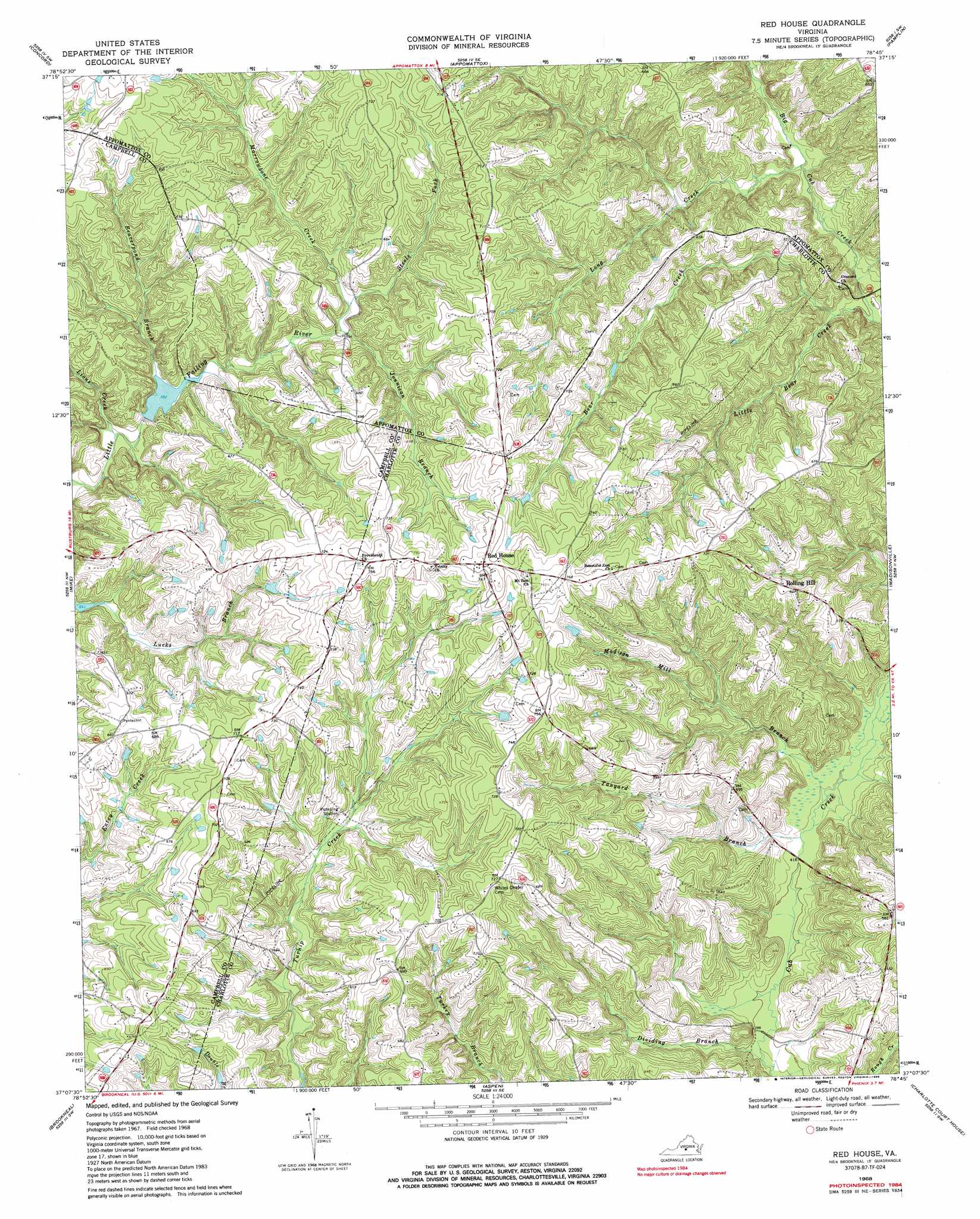
Red House Topo Map Virginia
To zoom in, hover over the map of Red House
USGS Topo Quad 37078b7 - 1:24,000 scale
| Topo Map Name: | Red House |
| USGS Topo Quad ID: | 37078b7 |
| Print Size: | ca. 21 1/4" wide x 27" high |
| Southeast Coordinates: | 37.125° N latitude / 78.75° W longitude |
| Map Center Coordinates: | 37.1875° N latitude / 78.8125° W longitude |
| U.S. State: | VA |
| Filename: | o37078b7.jpg |
| Download Map JPG Image: | Red House topo map 1:24,000 scale |
| Map Type: | Topographic |
| Topo Series: | 7.5´ |
| Map Scale: | 1:24,000 |
| Source of Map Images: | United States Geological Survey (USGS) |
| Alternate Map Versions: |
Red House VA 1968, updated 1971 Download PDF Buy paper map Red House VA 1968, updated 1986 Download PDF Buy paper map Red House VA 2010 Download PDF Buy paper map Red House VA 2013 Download PDF Buy paper map Red House VA 2016 Download PDF Buy paper map |
1:24,000 Topo Quads surrounding Red House
Kelly |
Stonewall |
Vera |
Holiday Lake |
Andersonville |
Rustburg |
Concord |
Appomattox |
Pamplin |
Prospect |
Gladys |
Mike |
Red House |
Madisonville |
Abilene |
Long Island |
Brookneal |
Aspen |
Charlotte Court House |
Eureka |
Republican Grove |
Nathalie |
Conner Lake |
Saxe |
Drakes Branch |
> Back to 37078a1 at 1:100,000 scale
> Back to 37078a1 at 1:250,000 scale
> Back to U.S. Topo Maps home
Red House topo map: Gazetteer
Red House: Airports
Redhouse Airfield elevation 233m 764′Red House: Post Offices
Red House Post Office elevation 229m 751′Red House: Streams
Bear Creek elevation 135m 442′Beaverpond Branch elevation 168m 551′
Butterwood Creek elevation 126m 413′
Dividing Branch elevation 118m 387′
Jonnican Branch elevation 174m 570′
Lions Creek elevation 159m 521′
Little Bear Creek elevation 141m 462′
Long Creek elevation 140m 459′
Madison Mill Branch elevation 124m 406′
Marrowbone Creek elevation 174m 570′
Steele Fork elevation 177m 580′
Tanyard Branch elevation 124m 406′
Red House digital topo map on disk
Buy this Red House topo map showing relief, roads, GPS coordinates and other geographical features, as a high-resolution digital map file on DVD:
Western Virginia & Southern West Virginia
Buy digital topo maps: Western Virginia & Southern West Virginia