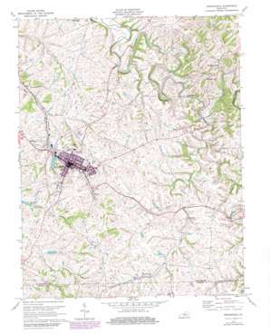
Springfield Topo Map Kentucky
To zoom in, hover over the map of Springfield
USGS Topo Quad 37085f2 - 1:24,000 scale
| Topo Map Name: | Springfield |
| USGS Topo Quad ID: | 37085f2 |
| Print Size: | ca. 21 1/4" wide x 27" high |
| Southeast Coordinates: | 37.625° N latitude / 85.125° W longitude |
| Map Center Coordinates: | 37.6875° N latitude / 85.1875° W longitude |
| U.S. State: | KY |
| Filename: | o37085f2.jpg |
| Download Map JPG Image: | Springfield topo map 1:24,000 scale |
| Map Type: | Topographic |
| Topo Series: | 7.5´ |
| Map Scale: | 1:24,000 |
| Source of Map Images: | United States Geological Survey (USGS) |
| Alternate Map Versions: |
Springfield KY 1953, updated 1954 Download PDF Buy paper map Springfield KY 1953, updated 1969 Download PDF Buy paper map Springfield KY 1972, updated 1973 Download PDF Buy paper map Springfield KY 1972, updated 1979 Download PDF Buy paper map Springfield KY 2010 Download PDF Buy paper map Springfield KY 2013 Download PDF Buy paper map Springfield KY 2016 Download PDF Buy paper map |
1:24,000 Topo Quads surrounding Springfield
> Back to 37085e1 at 1:100,000 scale
> Back to 37084a1 at 1:250,000 scale
> Back to U.S. Topo Maps home
Springfield topo map: Gazetteer
Springfield: Airports
Arnolds Airport elevation 251m 823′Lebanon-Springfield Airport elevation 258m 846′
Springfield: Populated Places
Barbours Mill Pike (historical) elevation 0m 0′Briartown elevation 245m 803′
Jimtown elevation 251m 823′
Oakland (historical) elevation 269m 882′
Rineltown elevation 225m 738′
Simstown elevation 244m 800′
Springfield elevation 234m 767′
Thompsonville elevation 260m 853′
Springfield: Post Offices
Fenwick Post Office (historical) elevation 265m 869′Simms Post Office (historical) elevation 248m 813′
Springfield: Streams
Booker Branch elevation 225m 738′Brady Branch elevation 217m 711′
Buck Branch elevation 245m 803′
Haydon Branch elevation 216m 708′
Logan Branch elevation 237m 777′
Mill Creek elevation 223m 731′
Pleasant Run elevation 212m 695′
Poorhouse Branch elevation 216m 708′
Shay Branch elevation 210m 688′
Walker Run elevation 198m 649′
Springfield: Summits
Armory Hill elevation 247m 810′Cemetery Hill elevation 259m 849′
Springfield: Valleys
Frog Hollow elevation 207m 679′Springfield digital topo map on disk
Buy this Springfield topo map showing relief, roads, GPS coordinates and other geographical features, as a high-resolution digital map file on DVD:


