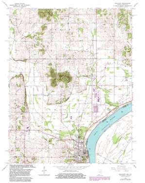
Rockport Topo Map Indiana
To zoom in, hover over the map of Rockport
USGS Topo Quad 37087h1 - 1:24,000 scale
| Topo Map Name: | Rockport |
| USGS Topo Quad ID: | 37087h1 |
| Print Size: | ca. 21 1/4" wide x 27" high |
| Southeast Coordinates: | 37.875° N latitude / 87° W longitude |
| Map Center Coordinates: | 37.9375° N latitude / 87.0625° W longitude |
| U.S. States: | IN, KY |
| Filename: | o37087h1.jpg |
| Download Map JPG Image: | Rockport topo map 1:24,000 scale |
| Map Type: | Topographic |
| Topo Series: | 7.5´ |
| Map Scale: | 1:24,000 |
| Source of Map Images: | United States Geological Survey (USGS) |
| Alternate Map Versions: |
Rockport IN 1952, updated 1953 Download PDF Buy paper map Rockport IN 1964, updated 1966 Download PDF Buy paper map Rockport IN 1964, updated 1983 Download PDF Buy paper map Rockport IN 2010 Download PDF Buy paper map Rockport IN 2013 Download PDF Buy paper map Rockport IN 2016 Download PDF Buy paper map |
1:24,000 Topo Quads surrounding Rockport
> Back to 37087e1 at 1:100,000 scale
> Back to 37086a1 at 1:250,000 scale
> Back to U.S. Topo Maps home
Rockport topo map: Gazetteer
Rockport: Populated Places
Centerville elevation 139m 456′Lake Mill elevation 122m 400′
Lincoln Pioneer Village elevation 128m 419′
Reo elevation 124m 406′
Ritchie elevation 122m 400′
Rock Hill elevation 118m 387′
Rockport elevation 134m 439′
Silverdale elevation 119m 390′
Rockport: Reservoirs
Vance Lake elevation 114m 374′Rockport: Streams
Garrett Creek elevation 129m 423′Honey Creek elevation 107m 351′
Huffman Ditch elevation 119m 390′
Hurricane Creek elevation 137m 449′
Rockport: Summits
Coal Knobs elevation 183m 600′Fisher Knobs elevation 178m 583′
Hanging Rock elevation 137m 449′
Nix Hill elevation 159m 521′
Rockport digital topo map on disk
Buy this Rockport topo map showing relief, roads, GPS coordinates and other geographical features, as a high-resolution digital map file on DVD:


