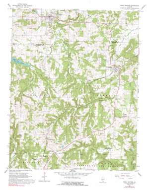
Creal Springs Topo Map Illinois
To zoom in, hover over the map of Creal Springs
USGS Topo Quad 37088e7 - 1:24,000 scale
| Topo Map Name: | Creal Springs |
| USGS Topo Quad ID: | 37088e7 |
| Print Size: | ca. 21 1/4" wide x 27" high |
| Southeast Coordinates: | 37.5° N latitude / 88.75° W longitude |
| Map Center Coordinates: | 37.5625° N latitude / 88.8125° W longitude |
| U.S. State: | IL |
| Filename: | o37088e7.jpg |
| Download Map JPG Image: | Creal Springs topo map 1:24,000 scale |
| Map Type: | Topographic |
| Topo Series: | 7.5´ |
| Map Scale: | 1:24,000 |
| Source of Map Images: | United States Geological Survey (USGS) |
| Alternate Map Versions: |
Creal Springs IL 1966, updated 1967 Download PDF Buy paper map Creal Springs IL 1966, updated 1992 Download PDF Buy paper map Creal Springs IL 1996, updated 1998 Download PDF Buy paper map Creal Springs IL 2012 Download PDF Buy paper map Creal Springs IL 2015 Download PDF Buy paper map |
| FStopo: | US Forest Service topo Creal Springs is available: Download FStopo PDF Download FStopo TIF |
1:24,000 Topo Quads surrounding Creal Springs
> Back to 37088e1 at 1:100,000 scale
> Back to 37088a1 at 1:250,000 scale
> Back to U.S. Topo Maps home
Creal Springs topo map: Gazetteer
Creal Springs: Dams
Cedar Lake Dam elevation 179m 587′Fetter Lake Dam elevation 213m 698′
Lake Echon Dam elevation 130m 426′
Lake Thunderhawk Dam elevation 176m 577′
Creal Springs: Populated Places
Creal Springs elevation 155m 508′New Burnside elevation 165m 541′
Ozark elevation 210m 688′
Parker elevation 168m 551′
Reynoldsburg elevation 176m 577′
Sandburn elevation 187m 613′
Sulphur Springs (historical) elevation 157m 515′
Tunnel Hill elevation 194m 636′
Creal Springs: Post Offices
Ozark Post Office elevation 211m 692′Reynoldsburg Post Office (historical) elevation 176m 577′
Tunnel Hill Post Office elevation 192m 629′
Creal Springs: Reservoirs
Cedar Lake elevation 179m 587′Fetter Lake elevation 213m 698′
Lake Echon elevation 130m 426′
Lake Thunderhawk elevation 176m 577′
Creal Springs: Ridges
Wise Ridge elevation 194m 636′Creal Springs: Streams
Caney Creek elevation 152m 498′Larkin Creek elevation 152m 498′
Maple Branch elevation 140m 459′
Ozark Creek elevation 121m 396′
Wagon Creek elevation 152m 498′
Creal Springs digital topo map on disk
Buy this Creal Springs topo map showing relief, roads, GPS coordinates and other geographical features, as a high-resolution digital map file on DVD:


