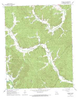
Piedmont Se Topo Map Missouri
To zoom in, hover over the map of Piedmont Se
USGS Topo Quad 37090a5 - 1:24,000 scale
| Topo Map Name: | Piedmont Se |
| USGS Topo Quad ID: | 37090a5 |
| Print Size: | ca. 21 1/4" wide x 27" high |
| Southeast Coordinates: | 37° N latitude / 90.5° W longitude |
| Map Center Coordinates: | 37.0625° N latitude / 90.5625° W longitude |
| U.S. State: | MO |
| Filename: | o37090a5.jpg |
| Download Map JPG Image: | Piedmont Se topo map 1:24,000 scale |
| Map Type: | Topographic |
| Topo Series: | 7.5´ |
| Map Scale: | 1:24,000 |
| Source of Map Images: | United States Geological Survey (USGS) |
| Alternate Map Versions: |
Piedmont SE MO 1967, updated 1969 Download PDF Buy paper map Piedmont SE MO 2011 Download PDF Buy paper map Piedmont SE MO 2015 Download PDF Buy paper map |
| FStopo: | US Forest Service topo Piedmont SE is available: Download FStopo PDF Download FStopo TIF |
1:24,000 Topo Quads surrounding Piedmont Se
> Back to 37090a1 at 1:100,000 scale
> Back to 37090a1 at 1:250,000 scale
> Back to U.S. Topo Maps home
Piedmont Se topo map: Gazetteer
Piedmont Se: Bends
Granite Bend elevation 120m 393′Piedmont Se: Dams
Don Manetz Dam elevation 187m 613′Piedmont Se: Populated Places
Barlow (historical) elevation 128m 419′Dees Town elevation 152m 498′
Kerrigan (historical) elevation 178m 583′
Piedmont Se: Reservoirs
Don Manetz Lake elevation 187m 613′Piedmont Se: Ridges
Blackwell Ridge elevation 213m 698′Piedmont Se: Streams
Barren Fork elevation 182m 597′Center Lake Creek elevation 123m 403′
Eads Creek elevation 120m 393′
Julian Branch elevation 176m 577′
Knox Branch elevation 121m 396′
Marler Branch elevation 158m 518′
Persimmon Branch elevation 161m 528′
Seitz Branch elevation 122m 400′
Wet Fork elevation 144m 472′
Wolf Branch elevation 164m 538′
Piedmont Se: Valleys
Childs Hollow elevation 148m 485′Handy Hollow elevation 168m 551′
Meador Valley elevation 177m 580′
Piedmont Se digital topo map on disk
Buy this Piedmont Se topo map showing relief, roads, GPS coordinates and other geographical features, as a high-resolution digital map file on DVD:


