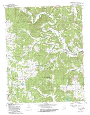
Glenallen Topo Map Missouri
To zoom in, hover over the map of Glenallen
USGS Topo Quad 37090c1 - 1:24,000 scale
| Topo Map Name: | Glenallen |
| USGS Topo Quad ID: | 37090c1 |
| Print Size: | ca. 21 1/4" wide x 27" high |
| Southeast Coordinates: | 37.25° N latitude / 90° W longitude |
| Map Center Coordinates: | 37.3125° N latitude / 90.0625° W longitude |
| U.S. State: | MO |
| Filename: | o37090c1.jpg |
| Download Map JPG Image: | Glenallen topo map 1:24,000 scale |
| Map Type: | Topographic |
| Topo Series: | 7.5´ |
| Map Scale: | 1:24,000 |
| Source of Map Images: | United States Geological Survey (USGS) |
| Alternate Map Versions: |
Glenallen MO 1980, updated 1980 Download PDF Buy paper map Glenallen MO 1980, updated 1986 Download PDF Buy paper map Glenallen MO 2011 Download PDF Buy paper map Glenallen MO 2015 Download PDF Buy paper map |
1:24,000 Topo Quads surrounding Glenallen
> Back to 37090a1 at 1:100,000 scale
> Back to 37090a1 at 1:250,000 scale
> Back to U.S. Topo Maps home
Glenallen topo map: Gazetteer
Glenallen: Dams
Lake of the Hills Dam elevation 154m 505′Marquis Dam elevation 211m 692′
Number 632 Dam elevation 217m 711′
Reed Dam elevation 192m 629′
Wright Lake Dam elevation 194m 636′
Glenallen: Parks
Grassy Tower Site State Public Hunting Area elevation 237m 777′Glenallen: Populated Places
Bessville elevation 180m 590′Glenallen elevation 141m 462′
Grassy elevation 216m 708′
Huxie elevation 165m 541′
Glenallen: Post Offices
Huxie Post Office (historical) elevation 165m 541′Glenallen: Reservoirs
Lake of the Hills elevation 154m 505′Marquis Lake elevation 211m 692′
Reed Lake elevation 192m 629′
Glenallen: Streams
Gimlet Creek elevation 141m 462′Indian Creek elevation 160m 524′
Limbaugh Branch elevation 165m 541′
Little Crooked Creek elevation 133m 436′
Turkey Branch elevation 129m 423′
Glenallen: Valleys
Black Snake Hollow elevation 158m 518′Robey Hollow elevation 146m 479′
Glenallen digital topo map on disk
Buy this Glenallen topo map showing relief, roads, GPS coordinates and other geographical features, as a high-resolution digital map file on DVD:


