Woods Sw Topo Map Kansas
To zoom in, hover over the map of Woods Sw
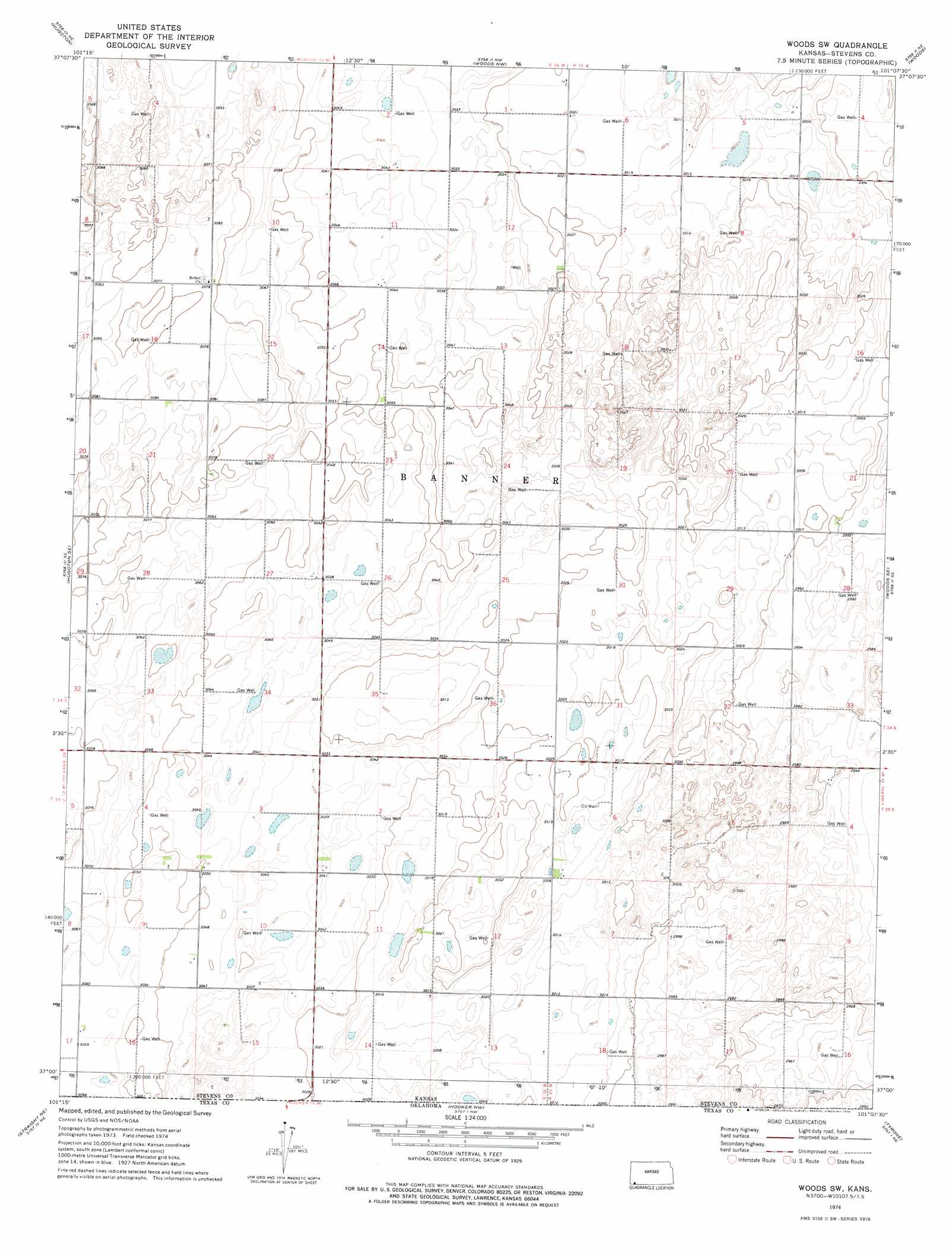
USGS Topo Quad 37101a2 - 1:24,000 scale
| Topo Map Name: | Woods Sw |
| USGS Topo Quad ID: | 37101a2 |
| Print Size: | ca. 21 1/4" wide x 27" high |
| Southeast Coordinates: | 37° N latitude / 101.125° W longitude |
| Map Center Coordinates: | 37.0625° N latitude / 101.1875° W longitude |
| U.S. State: | KS |
| Filename: | o37101a2.jpg |
| Download Map JPG Image: | Woods Sw topo map 1:24,000 scale |
| Map Type: | Topographic |
| Topo Series: | 7.5´ |
| Map Scale: | 1:24,000 |
| Source of Map Images: | United States Geological Survey (USGS) |
| Alternate Map Versions: |
Woods SW KS 1974, updated 1976 Download PDF Buy paper map Woods SW KS 2010 Download PDF Buy paper map Woods SW KS 2012 Download PDF Buy paper map Woods SW KS 2015 Download PDF Buy paper map |
1:24,000 Topo Quads surrounding Woods Sw
Wagon Bed Spring Sw |
Wagon Bed Spring Se |
Moscow |
Moscow Se |
Sublette Sw |
Feterita |
Hugoton |
Woods Nw |
Woods |
Liberal Nw |
Hugoton Sw |
Hugoton Se |
Woods Sw |
Woods Se |
Liberal |
Straight |
Straight Ne |
Hooker Nw |
Tyrone |
Little Ponderosa |
Straight Sw |
Optima |
Hooker |
Adams |
Turpin West |
> Back to 37101a1 at 1:100,000 scale
> Back to 37100a1 at 1:250,000 scale
> Back to U.S. Topo Maps home
No gazetteer data is available for the Woods Sw topo map sheet.
Woods Sw digital topo map on disk
Buy this Woods Sw topo map showing relief, roads, GPS coordinates and other geographical features, as a high-resolution digital map file on DVD: