Ulysses Nw Topo Map Kansas
To zoom in, hover over the map of Ulysses Nw
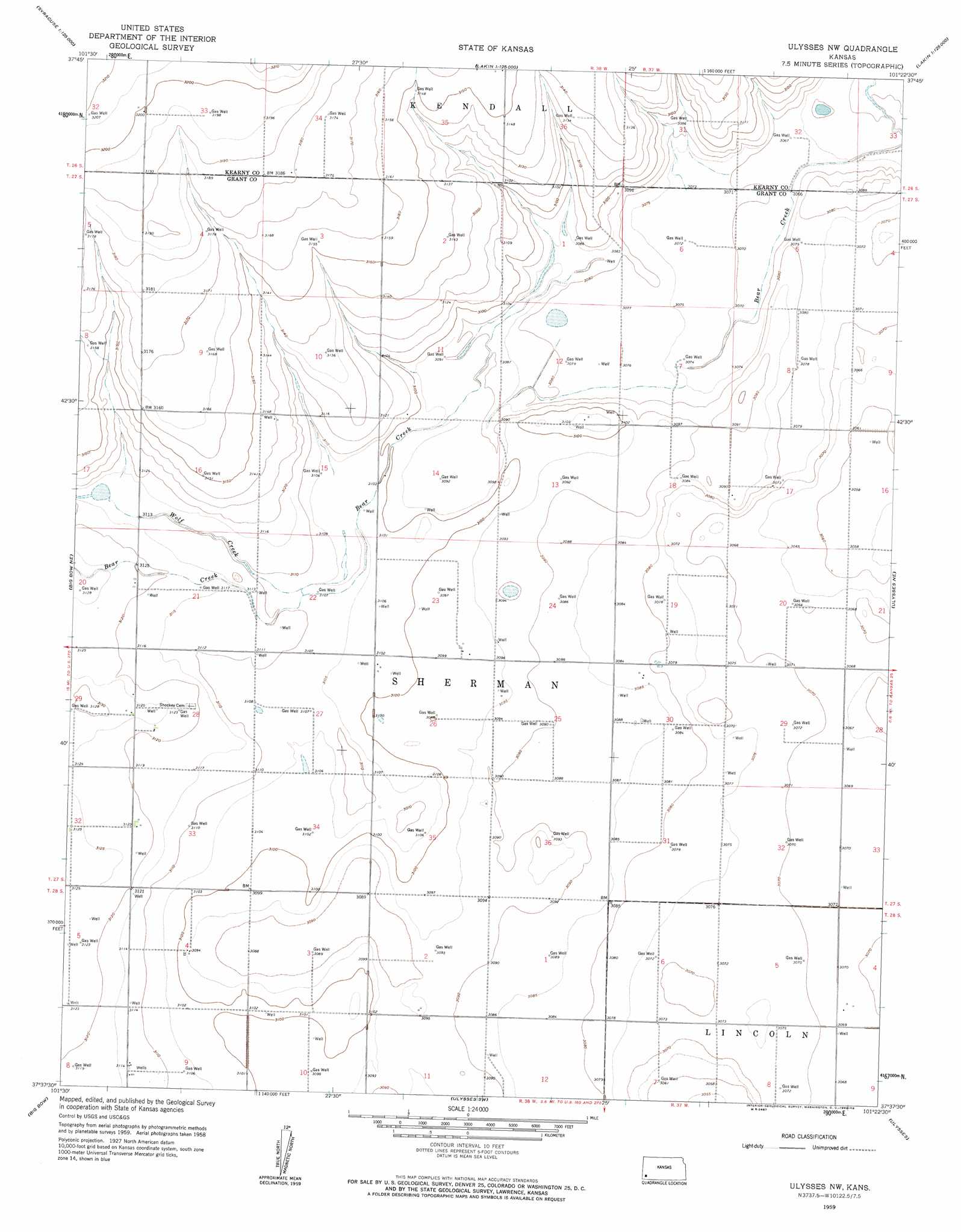
USGS Topo Quad 37101f4 - 1:24,000 scale
| Topo Map Name: | Ulysses Nw |
| USGS Topo Quad ID: | 37101f4 |
| Print Size: | ca. 21 1/4" wide x 27" high |
| Southeast Coordinates: | 37.625° N latitude / 101.375° W longitude |
| Map Center Coordinates: | 37.6875° N latitude / 101.4375° W longitude |
| U.S. State: | KS |
| Filename: | o37101f4.jpg |
| Download Map JPG Image: | Ulysses Nw topo map 1:24,000 scale |
| Map Type: | Topographic |
| Topo Series: | 7.5´ |
| Map Scale: | 1:24,000 |
| Source of Map Images: | United States Geological Survey (USGS) |
| Alternate Map Versions: |
Ulysses NW KS 1959, updated 1960 Download PDF Buy paper map Ulysses NW KS 2010 Download PDF Buy paper map Ulysses NW KS 2012 Download PDF Buy paper map Ulysses NW KS 2015 Download PDF Buy paper map |
1:24,000 Topo Quads surrounding Ulysses Nw
Syracuse East |
Kendall |
Lakin Nw |
Lakin |
Deerfield |
Syracuse East Sw |
Syracuse East Se |
Lakin Sw |
Lakin Se |
Deerfield Sw |
Big Bow Nw |
Big Bow Ne |
Ulysses Nw |
Ulysses Ne |
Hickok Nw |
Johnson East |
Big Bow |
Ulysses Sw |
Ulysses |
Hickok |
Shore Airport |
Shore Airport Ne |
Wagon Bed Spring Nw |
Wagon Bed Spring |
Moscow Nw |
> Back to 37101e1 at 1:100,000 scale
> Back to 37100a1 at 1:250,000 scale
> Back to U.S. Topo Maps home
Ulysses Nw digital topo map on disk
Buy this Ulysses Nw topo map showing relief, roads, GPS coordinates and other geographical features, as a high-resolution digital map file on DVD: