Syracuse West Nw Topo Map Kansas
To zoom in, hover over the map of Syracuse West Nw
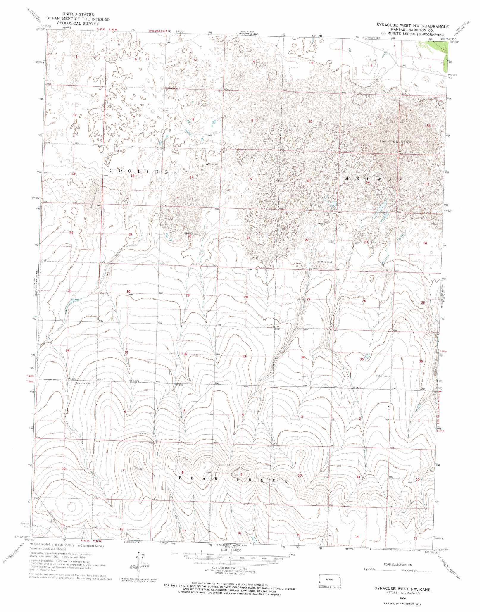
USGS Topo Quad 37101h8 - 1:24,000 scale
| Topo Map Name: | Syracuse West Nw |
| USGS Topo Quad ID: | 37101h8 |
| Print Size: | ca. 21 1/4" wide x 27" high |
| Southeast Coordinates: | 37.875° N latitude / 101.875° W longitude |
| Map Center Coordinates: | 37.9375° N latitude / 101.9375° W longitude |
| U.S. State: | KS |
| Filename: | o37101h8.jpg |
| Download Map JPG Image: | Syracuse West Nw topo map 1:24,000 scale |
| Map Type: | Topographic |
| Topo Series: | 7.5´ |
| Map Scale: | 1:24,000 |
| Source of Map Images: | United States Geological Survey (USGS) |
| Alternate Map Versions: |
Syracuse West NW KS 1966, updated 1967 Download PDF Buy paper map Syracuse West NW KS 2010 Download PDF Buy paper map Syracuse West NW KS 2012 Download PDF Buy paper map Syracuse West NW KS 2015 Download PDF Buy paper map |
1:24,000 Topo Quads surrounding Syracuse West Nw
Holly Nw |
Holly Ne |
Tribune 3 Nw |
Tribune 3 Ne |
Tribune 4 Nw |
Holly West |
Holly East |
Tribune 3 Sw |
Tribune 3 Se |
Tribune 4 Sw |
Durkee Creek Nw |
Durkee Creek Ne |
Syracuse West Nw |
Syracuse West |
Syracuse East |
Two Butte Springs |
Durkee Creek Se |
Syracuse West Sw |
Syracuse West Se |
Syracuse East Sw |
Webb |
Lycan Ne |
Johnson Nw |
Johnson Ne |
Big Bow Nw |
> Back to 37101e1 at 1:100,000 scale
> Back to 37100a1 at 1:250,000 scale
> Back to U.S. Topo Maps home
No gazetteer data is available for the Syracuse West Nw topo map sheet.
Syracuse West Nw digital topo map on disk
Buy this Syracuse West Nw topo map showing relief, roads, GPS coordinates and other geographical features, as a high-resolution digital map file on DVD: