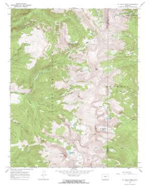
El Valle Creek Topo Map Colorado
To zoom in, hover over the map of El Valle Creek
USGS Topo Quad 37105b2 - 1:24,000 scale
| Topo Map Name: | El Valle Creek |
| USGS Topo Quad ID: | 37105b2 |
| Print Size: | ca. 21 1/4" wide x 27" high |
| Southeast Coordinates: | 37.125° N latitude / 105.125° W longitude |
| Map Center Coordinates: | 37.1875° N latitude / 105.1875° W longitude |
| U.S. State: | CO |
| Filename: | o37105b2.jpg |
| Download Map JPG Image: | El Valle Creek topo map 1:24,000 scale |
| Map Type: | Topographic |
| Topo Series: | 7.5´ |
| Map Scale: | 1:24,000 |
| Source of Map Images: | United States Geological Survey (USGS) |
| Alternate Map Versions: |
El Valle Creek CO 1967, updated 1971 Download PDF Buy paper map El Valle Creek CO 1967, updated 1971 Download PDF Buy paper map El Valle Creek CO 1994, updated 1998 Download PDF Buy paper map El Valle Creek CO 2011 Download PDF Buy paper map El Valle Creek CO 2013 Download PDF Buy paper map El Valle Creek CO 2016 Download PDF Buy paper map |
| FStopo: | US Forest Service topo El Valle Creek is available: Download FStopo PDF Download FStopo TIF |
1:24,000 Topo Quads surrounding El Valle Creek
> Back to 37105a1 at 1:100,000 scale
> Back to 37104a1 at 1:250,000 scale
> Back to U.S. Topo Maps home
El Valle Creek topo map: Gazetteer
El Valle Creek: Dams
Salazar Number 2 Dam elevation 2824m 9265′El Valle Creek: Gaps
Whiskey Pass elevation 3825m 12549′El Valle Creek: Lakes
Carneros Lake elevation 3629m 11906′Lost Lake elevation 3522m 11555′
Strawberry Lake elevation 3593m 11788′
El Valle Creek: Reservoirs
Salazar Number 2 Reservoir elevation 2824m 9265′El Valle Creek: Streams
Bernardino Creek elevation 2947m 9668′Carneros Creek elevation 2889m 9478′
El Perdido Creek elevation 2997m 9832′
El Valle Creek elevation 2889m 9478′
El Valle Creek: Summits
Beaubien Peak elevation 3789m 12431′De Anza Peak elevation 4049m 13284′
Francisco Peak elevation 4009m 13152′
Lomo Liso Mountain elevation 4001m 13126′
Maraquita Peak elevation 4055m 13303′
Mariquita Peak elevation 4088m 13412′
Miranda Peak elevation 4095m 13435′
Mount Maxwell elevation 4057m 13310′
El Valle Creek: Valleys
Canova Canyon elevation 2969m 9740′El Valle Creek digital topo map on disk
Buy this El Valle Creek topo map showing relief, roads, GPS coordinates and other geographical features, as a high-resolution digital map file on DVD:


