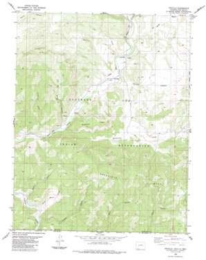
Trujillo Topo Map Colorado
To zoom in, hover over the map of Trujillo
USGS Topo Quad 37107a1 - 1:24,000 scale
| Topo Map Name: | Trujillo |
| USGS Topo Quad ID: | 37107a1 |
| Print Size: | ca. 21 1/4" wide x 27" high |
| Southeast Coordinates: | 37° N latitude / 107° W longitude |
| Map Center Coordinates: | 37.0625° N latitude / 107.0625° W longitude |
| U.S. State: | CO |
| Filename: | o37107a1.jpg |
| Download Map JPG Image: | Trujillo topo map 1:24,000 scale |
| Map Type: | Topographic |
| Topo Series: | 7.5´ |
| Map Scale: | 1:24,000 |
| Source of Map Images: | United States Geological Survey (USGS) |
| Alternate Map Versions: |
Trujillo CO 1984, updated 1984 Download PDF Buy paper map Trujillo CO 2011 Download PDF Buy paper map Trujillo CO 2013 Download PDF Buy paper map Trujillo CO 2016 Download PDF Buy paper map |
| FStopo: | US Forest Service topo Trujillo is available: Download FStopo PDF Download FStopo TIF |
1:24,000 Topo Quads surrounding Trujillo
> Back to 37107a1 at 1:100,000 scale
> Back to 37106a1 at 1:250,000 scale
> Back to U.S. Topo Maps home
Trujillo topo map: Gazetteer
Trujillo: Canals
Virginia Ditch elevation 1995m 6545′Trujillo: Populated Places
Trujillo elevation 2002m 6568′Trujillo: Streams
Godby Wash elevation 2403m 7883′Montezuma Creek elevation 1960m 6430′
Rio Blanco elevation 2014m 6607′
Trujillo: Summits
Montezuma Mesa elevation 2361m 7746′Trujillo: Valleys
Coal Mine Canyon elevation 1984m 6509′Hersch Canyon elevation 1977m 6486′
Madrid Canyon elevation 1945m 6381′
Rincon Bonito Canyon elevation 1961m 6433′
Salt Canyon elevation 2003m 6571′
Trujillo Canyon elevation 2000m 6561′
Valle Seco elevation 2007m 6584′
Villareal Canyon elevation 1960m 6430′
Trujillo digital topo map on disk
Buy this Trujillo topo map showing relief, roads, GPS coordinates and other geographical features, as a high-resolution digital map file on DVD:


