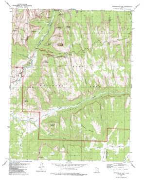
Springdale East Topo Map Utah
To zoom in, hover over the map of Springdale East
USGS Topo Quad 37112b8 - 1:24,000 scale
| Topo Map Name: | Springdale East |
| USGS Topo Quad ID: | 37112b8 |
| Print Size: | ca. 21 1/4" wide x 27" high |
| Southeast Coordinates: | 37.125° N latitude / 112.875° W longitude |
| Map Center Coordinates: | 37.1875° N latitude / 112.9375° W longitude |
| U.S. State: | UT |
| Filename: | o37112b8.jpg |
| Download Map JPG Image: | Springdale East topo map 1:24,000 scale |
| Map Type: | Topographic |
| Topo Series: | 7.5´ |
| Map Scale: | 1:24,000 |
| Source of Map Images: | United States Geological Survey (USGS) |
| Alternate Map Versions: |
Springdale East UT 1980, updated 1980 Download PDF Buy paper map Springdale East UT 1980, updated 1982 Download PDF Buy paper map Springdale East UT 1980, updated 1997 Download PDF Buy paper map Springdale East UT 1997, updated 2002 Download PDF Buy paper map Springdale East UT 2011 Download PDF Buy paper map Springdale East UT 2014 Download PDF Buy paper map |
1:24,000 Topo Quads surrounding Springdale East
> Back to 37112a1 at 1:100,000 scale
> Back to 37112a1 at 1:250,000 scale
> Back to U.S. Topo Maps home
Springdale East topo map: Gazetteer
Springdale East: Basins
Pine Creek Gorge elevation 1611m 5285′Springdale East: Bridges
Virgin River Bridge elevation 1220m 4002′Springdale East: Capes
Point Petty elevation 1446m 4744′Springdale East: Cliffs
The Streaked Wall elevation 1457m 4780′Springdale East: Populated Places
Oak Creek Residential Area elevation 1228m 4028′Shunesburg elevation 1201m 3940′
Springdale elevation 1188m 3897′
Watchman Residential Area elevation 1201m 3940′
Springdale East: Streams
Birch Creek elevation 1971m 6466′Clear Creek elevation 1591m 5219′
Co-op Creek elevation 1719m 5639′
Oak Creek elevation 1203m 3946′
Pine Creek elevation 1261m 4137′
Second Creek elevation 1273m 4176′
Shunes Creek elevation 1161m 3809′
South Creek elevation 1173m 3848′
Springdale East: Summits
Abraham Peak elevation 2128m 6981′Bee Hive elevation 2059m 6755′
Bridge Mountain elevation 2036m 6679′
Checkerboard Mesa elevation 1997m 6551′
De Mille Peak elevation 1993m 6538′
Deertrap Mountain elevation 2054m 6738′
Isaac Peak elevation 2029m 6656′
Jacob Peak elevation 2064m 6771′
Johnson Mountain elevation 1858m 6095′
Moquitch Hill elevation 1225m 4019′
Mount Moroni elevation 1654m 5426′
Mount Spry elevation 1734m 5688′
Mountain of the Sun elevation 2041m 6696′
Shunesburg Mountain elevation 1772m 5813′
The East Temple elevation 2356m 7729′
The Sentinel elevation 2148m 7047′
The Watchman elevation 1958m 6423′
Three Patriarchs elevation 1969m 6459′
Transview Mountain elevation 1917m 6289′
Twin Brothers elevation 2079m 6820′
Springdale East: Trails
Canyon Overlook Trail elevation 1808m 5931′Sand Bench Trail elevation 1325m 4347′
Watchman Trail elevation 1292m 4238′
Springdale East: Tunnels
Zion-Mount Carmel Highway Tunnel elevation 1626m 5334′Springdale East: Valleys
Blacks Canyon elevation 1187m 3894′Broad Hollow elevation 1657m 5436′
Court of the Patriarchs elevation 1305m 4281′
Crawford Wash elevation 1242m 4074′
Dennett Canyon elevation 1248m 4094′
Gifford Canyon elevation 1566m 5137′
Hepworth Wash elevation 1352m 4435′
Jolley Gulch elevation 1757m 5764′
Shunes Hollow elevation 1654m 5426′
Stevens Wash elevation 1209m 3966′
Springdale East digital topo map on disk
Buy this Springdale East topo map showing relief, roads, GPS coordinates and other geographical features, as a high-resolution digital map file on DVD:


