Mud Topo Map West Virginia
To zoom in, hover over the map of Mud
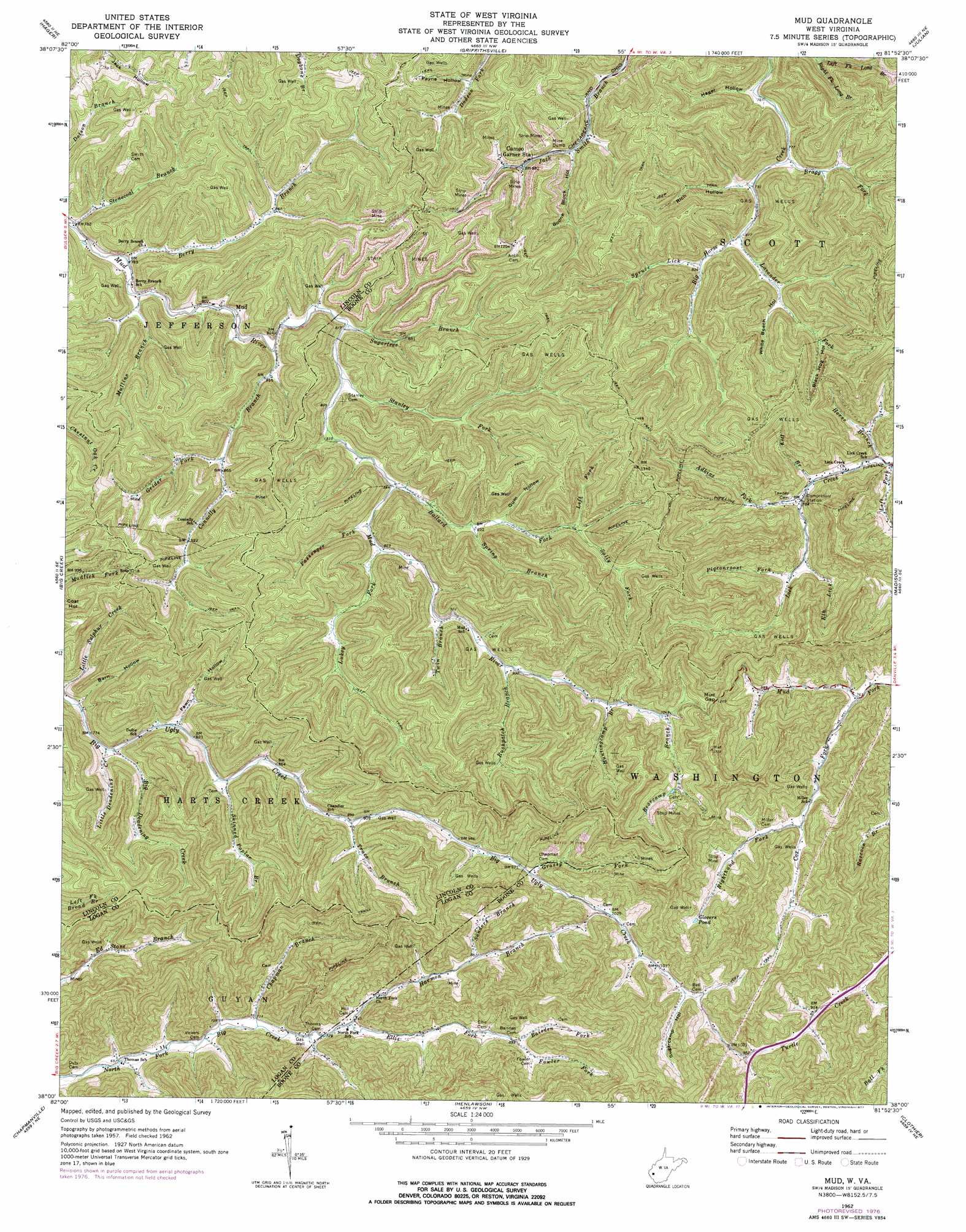
USGS Topo Quad 38081a8 - 1:24,000 scale
| Topo Map Name: | Mud |
| USGS Topo Quad ID: | 38081a8 |
| Print Size: | ca. 21 1/4" wide x 27" high |
| Southeast Coordinates: | 38° N latitude / 81.875° W longitude |
| Map Center Coordinates: | 38.0625° N latitude / 81.9375° W longitude |
| U.S. State: | WV |
| Filename: | o38081a8.jpg |
| Download Map JPG Image: | Mud topo map 1:24,000 scale |
| Map Type: | Topographic |
| Topo Series: | 7.5´ |
| Map Scale: | 1:24,000 |
| Source of Map Images: | United States Geological Survey (USGS) |
| Alternate Map Versions: |
Mud WV 1962, updated 1964 Download PDF Buy paper map Mud WV 1962, updated 1977 Download PDF Buy paper map Mud WV 1996, updated 2002 Download PDF Buy paper map Mud WV 2011 Download PDF Buy paper map Mud WV 2014 Download PDF Buy paper map Mud WV 2016 Download PDF Buy paper map |
1:24,000 Topo Quads surrounding Mud
West Hamlin |
Hamlin |
Garretts Bend |
Alum Creek |
Charleston West |
Branchland |
Hager |
Griffithsville |
Julian |
Racine |
Ranger |
Big Creek |
Mud |
Madison |
Williams Mountain |
Trace |
Chapmanville |
Henlawson |
Clothier |
Wharton |
Myrtle |
Holden |
Logan |
Amherstdale |
Lorado |
> Back to 38081a1 at 1:100,000 scale
> Back to 38080a1 at 1:250,000 scale
> Back to U.S. Topo Maps home
Mud topo map: Gazetteer
Mud: Dams
Jack Smith Branch Refuse Bank Dam elevation 337m 1105′Mud: Gaps
Mud Gap elevation 383m 1256′Mud: Populated Places
Cameo elevation 272m 892′Dollie elevation 247m 810′
Estep elevation 306m 1003′
Mud: Reservoirs
Glovers Pond elevation 310m 1017′Jack Smith Branch Impoundment elevation 337m 1105′
Mud: Streams
Adkins Fork elevation 237m 777′Baisden Fork elevation 274m 898′
Ballard Fork elevation 255m 836′
Bearcamp Branch elevation 318m 1043′
Berry Branch elevation 239m 784′
Big Deadening Creek elevation 238m 780′
Bragg Fork elevation 238m 780′
Chapman Branch elevation 212m 695′
Connelly Branch elevation 246m 807′
Cox Fork elevation 243m 797′
Dry Branch elevation 234m 767′
Elk Lick elevation 253m 830′
Ellis Fork elevation 224m 734′
Fowler Fork elevation 274m 898′
Grassy Fork elevation 297m 974′
Grider Fork elevation 325m 1066′
Harmon Branch elevation 224m 734′
Horse Branch elevation 222m 728′
Huntingcamp Branch elevation 299m 980′
Jule Fork elevation 253m 830′
Lavender Fork elevation 248m 813′
Left Fork Ballard Fork elevation 291m 954′
Left Fork Long Branch elevation 294m 964′
Little Deadening Creek elevation 237m 777′
Lukey Fork elevation 260m 853′
Mullins Branch elevation 241m 790′
Passenger Fork elevation 259m 849′
Pigeonroost Fork elevation 260m 853′
Right Fork Long Branch elevation 293m 961′
Righthand Fork Cox Creek elevation 263m 862′
Rushpatch Branch elevation 280m 918′
Sally Fork elevation 292m 958′
Sanders Branch elevation 259m 849′
Skinned Poplar Branch elevation 254m 833′
Spring Branch elevation 269m 882′
Spruce Lick elevation 253m 830′
Stanley Fork elevation 249m 816′
Stonecoal Branch elevation 239m 784′
Sugartree Branch elevation 248m 813′
Trace Branch elevation 273m 895′
Twin Branch elevation 272m 892′
Mud: Valleys
Barn Hollow elevation 238m 780′Black Hog Hollow elevation 296m 971′
Boone Block Hollow elevation 265m 869′
Fawn Hollow elevation 249m 816′
Gum Hollow elevation 281m 921′
Hager Hollow elevation 235m 770′
Payne Hollow elevation 277m 908′
Rich Hollow elevation 244m 800′
Sugarcamp Hollow elevation 324m 1062′
White Beech Hollow elevation 269m 882′
Mud digital topo map on disk
Buy this Mud topo map showing relief, roads, GPS coordinates and other geographical features, as a high-resolution digital map file on DVD:
Western Virginia & Southern West Virginia
Buy digital topo maps: Western Virginia & Southern West Virginia