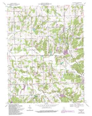
Blocher Topo Map Indiana
To zoom in, hover over the map of Blocher
USGS Topo Quad 38085f6 - 1:24,000 scale
| Topo Map Name: | Blocher |
| USGS Topo Quad ID: | 38085f6 |
| Print Size: | ca. 21 1/4" wide x 27" high |
| Southeast Coordinates: | 38.625° N latitude / 85.625° W longitude |
| Map Center Coordinates: | 38.6875° N latitude / 85.6875° W longitude |
| U.S. State: | IN |
| Filename: | o38085f6.jpg |
| Download Map JPG Image: | Blocher topo map 1:24,000 scale |
| Map Type: | Topographic |
| Topo Series: | 7.5´ |
| Map Scale: | 1:24,000 |
| Source of Map Images: | United States Geological Survey (USGS) |
| Alternate Map Versions: |
Blocher IN 1956, updated 1957 Download PDF Buy paper map Blocher IN 1968, updated 1971 Download PDF Buy paper map Blocher IN 1968, updated 1981 Download PDF Buy paper map Blocher IN 1968, updated 1988 Download PDF Buy paper map Blocher IN 1968, updated 1993 Download PDF Buy paper map Blocher IN 2010 Download PDF Buy paper map Blocher IN 2013 Download PDF Buy paper map Blocher IN 2016 Download PDF Buy paper map |
1:24,000 Topo Quads surrounding Blocher
> Back to 38085e1 at 1:100,000 scale
> Back to 38084a1 at 1:250,000 scale
> Back to U.S. Topo Maps home
Blocher topo map: Gazetteer
Blocher: Dams
Leroy Smith Lake Dam elevation 183m 600′Pine Lake Dam elevation 174m 570′
Presbyterian National Missions Lake Dam elevation 195m 639′
Stucker Fork Structure Number 4 elevation 180m 590′
Thomas J Miller Lake Dam elevation 178m 583′
Blocher: Mines
Scott County Quarry elevation 181m 593′Blocher: Parks
Clarks Grant Park elevation 174m 570′Morgan Trail Park elevation 181m 593′
Blocher: Populated Places
Albion elevation 192m 629′Blocher elevation 209m 685′
Goshen elevation 189m 620′
Lexington elevation 192m 629′
New Frankfort elevation 194m 636′
Wooster elevation 204m 669′
Blocher: Reservoirs
Howard Lake elevation 175m 574′Kinderhook Lake elevation 178m 583′
Lake McCulloch elevation 181m 593′
Pine Lake elevation 174m 570′
Presbyterian National Missions Lake elevation 195m 639′
Smith Lake elevation 183m 600′
Thomas J Miller Lake elevation 178m 583′
Blocher: Streams
Hog Creek elevation 168m 551′Kimberlin Creek elevation 164m 538′
Newland Creek elevation 173m 567′
Town Creek elevation 173m 567′
White Eye Branch elevation 173m 567′
Woods Fork elevation 168m 551′
Blocher digital topo map on disk
Buy this Blocher topo map showing relief, roads, GPS coordinates and other geographical features, as a high-resolution digital map file on DVD:


