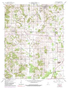
Holland Topo Map Indiana
To zoom in, hover over the map of Holland
USGS Topo Quad 38087b1 - 1:24,000 scale
| Topo Map Name: | Holland |
| USGS Topo Quad ID: | 38087b1 |
| Print Size: | ca. 21 1/4" wide x 27" high |
| Southeast Coordinates: | 38.125° N latitude / 87° W longitude |
| Map Center Coordinates: | 38.1875° N latitude / 87.0625° W longitude |
| U.S. State: | IN |
| Filename: | o38087b1.jpg |
| Download Map JPG Image: | Holland topo map 1:24,000 scale |
| Map Type: | Topographic |
| Topo Series: | 7.5´ |
| Map Scale: | 1:24,000 |
| Source of Map Images: | United States Geological Survey (USGS) |
| Alternate Map Versions: |
Holland IN 1961, updated 1962 Download PDF Buy paper map Holland IN 1961, updated 1981 Download PDF Buy paper map Holland IN 1961, updated 1984 Download PDF Buy paper map Holland IN 2010 Download PDF Buy paper map Holland IN 2013 Download PDF Buy paper map Holland IN 2016 Download PDF Buy paper map |
1:24,000 Topo Quads surrounding Holland
> Back to 38087a1 at 1:100,000 scale
> Back to 38086a1 at 1:250,000 scale
> Back to U.S. Topo Maps home
Holland topo map: Gazetteer
Holland: Canals
Davis Enlow Ditch elevation 122m 400′Pokeberry Ditch elevation 118m 387′
Holland: Dams
Yellow Bank Lake Dam elevation 146m 479′Holland: Parks
Mill Park elevation 127m 416′Holland: Populated Places
Heilman elevation 149m 488′Holland elevation 161m 528′
Loafers Station elevation 151m 495′
Selvin elevation 158m 518′
Holland: Reservoirs
Yellow Bank Lake elevation 146m 479′Holland: Streams
Little Red Creek elevation 122m 400′North Fork Little Pigeon Creek elevation 119m 390′
Pokeberry Creek elevation 118m 387′
Robinson Creek elevation 122m 400′
Sugar Creek elevation 125m 410′
Sugar Creek Drain elevation 125m 410′
Holland digital topo map on disk
Buy this Holland topo map showing relief, roads, GPS coordinates and other geographical features, as a high-resolution digital map file on DVD:


