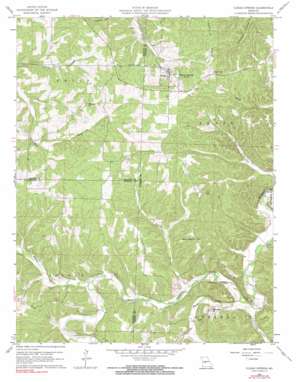
Climax Springs Topo Map Missouri
To zoom in, hover over the map of Climax Springs
USGS Topo Quad 38093a1 - 1:24,000 scale
| Topo Map Name: | Climax Springs |
| USGS Topo Quad ID: | 38093a1 |
| Print Size: | ca. 21 1/4" wide x 27" high |
| Southeast Coordinates: | 38° N latitude / 93° W longitude |
| Map Center Coordinates: | 38.0625° N latitude / 93.0625° W longitude |
| U.S. State: | MO |
| Filename: | o38093a1.jpg |
| Download Map JPG Image: | Climax Springs topo map 1:24,000 scale |
| Map Type: | Topographic |
| Topo Series: | 7.5´ |
| Map Scale: | 1:24,000 |
| Source of Map Images: | United States Geological Survey (USGS) |
| Alternate Map Versions: |
Climax Springs MO 1960, updated 1961 Download PDF Buy paper map Climax Springs MO 1960, updated 1973 Download PDF Buy paper map Climax Springs MO 1960, updated 1991 Download PDF Buy paper map Climax Springs MO 2011 Download PDF Buy paper map Climax Springs MO 2014 Download PDF Buy paper map |
1:24,000 Topo Quads surrounding Climax Springs
> Back to 38093a1 at 1:100,000 scale
> Back to 38092a1 at 1:250,000 scale
> Back to U.S. Topo Maps home
Climax Springs topo map: Gazetteer
Climax Springs: Airports
Miller Airport elevation 293m 961′Climax Springs: Dams
Carlson Lake Dam elevation 286m 938′Climax Springs: Populated Places
Climax Springs elevation 296m 971′Climax Springs: Streams
Macks Creek elevation 221m 725′Pennel Branch elevation 235m 770′
Phillips Branch elevation 224m 734′
Starks Creek elevation 228m 748′
Climax Springs: Valleys
Coffee Hollow elevation 224m 734′Climax Springs digital topo map on disk
Buy this Climax Springs topo map showing relief, roads, GPS coordinates and other geographical features, as a high-resolution digital map file on DVD:


