Cross Timbers Topo Map Missouri
To zoom in, hover over the map of Cross Timbers
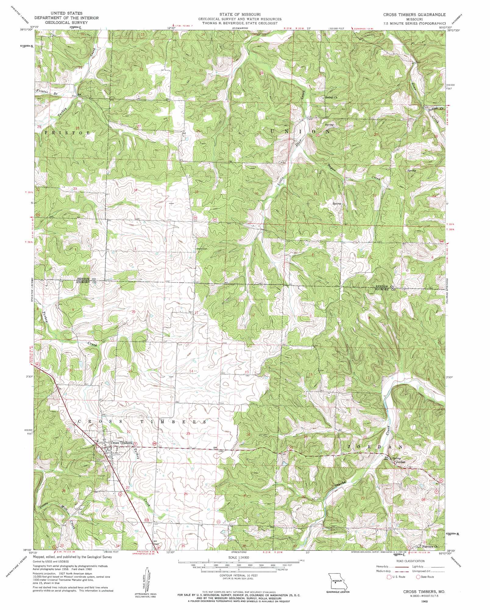
USGS Topo Quad 38093a2 - 1:24,000 scale
| Topo Map Name: | Cross Timbers |
| USGS Topo Quad ID: | 38093a2 |
| Print Size: | ca. 21 1/4" wide x 27" high |
| Southeast Coordinates: | 38° N latitude / 93.125° W longitude |
| Map Center Coordinates: | 38.0625° N latitude / 93.1875° W longitude |
| U.S. State: | MO |
| Filename: | o38093a2.jpg |
| Download Map JPG Image: | Cross Timbers topo map 1:24,000 scale |
| Map Type: | Topographic |
| Topo Series: | 7.5´ |
| Map Scale: | 1:24,000 |
| Source of Map Images: | United States Geological Survey (USGS) |
| Alternate Map Versions: |
Cross Timbers MO 1960, updated 1961 Download PDF Buy paper map Cross Timbers MO 2011 Download PDF Buy paper map Cross Timbers MO 2014 Download PDF Buy paper map |
1:24,000 Topo Quads surrounding Cross Timbers
Shawnee Bend |
Lincoln Se |
Lakeview Heights |
Boylers Mill |
Proctor Creek |
Warsaw West |
Warsaw East |
Edwards |
Knobby |
Bollinger Creek |
Quincy |
Fristoe |
Cross Timbers |
Climax Springs |
Barnumton |
Wheatland |
Hermitage |
Preston |
Branch |
Macks Creek |
Elkton |
Sentinel |
Urbana |
Tunas |
Leadmine |
> Back to 38093a1 at 1:100,000 scale
> Back to 38092a1 at 1:250,000 scale
> Back to U.S. Topo Maps home
Cross Timbers topo map: Gazetteer
Cross Timbers: Dams
Kugler Lake Dam elevation 300m 984′Talbot Dam elevation 285m 935′
Cross Timbers: Populated Places
Cross Timbers elevation 315m 1033′Jordan elevation 258m 846′
Cross Timbers: Reservoirs
Lake Glenwood in Hidden Valley elevation 285m 935′Cross Timbers: Streams
Fristoe Branch elevation 247m 810′Indian Creek elevation 244m 800′
Sugar Creek elevation 259m 849′
Cross Timbers digital topo map on disk
Buy this Cross Timbers topo map showing relief, roads, GPS coordinates and other geographical features, as a high-resolution digital map file on DVD: