Pittsville Topo Map Missouri
To zoom in, hover over the map of Pittsville
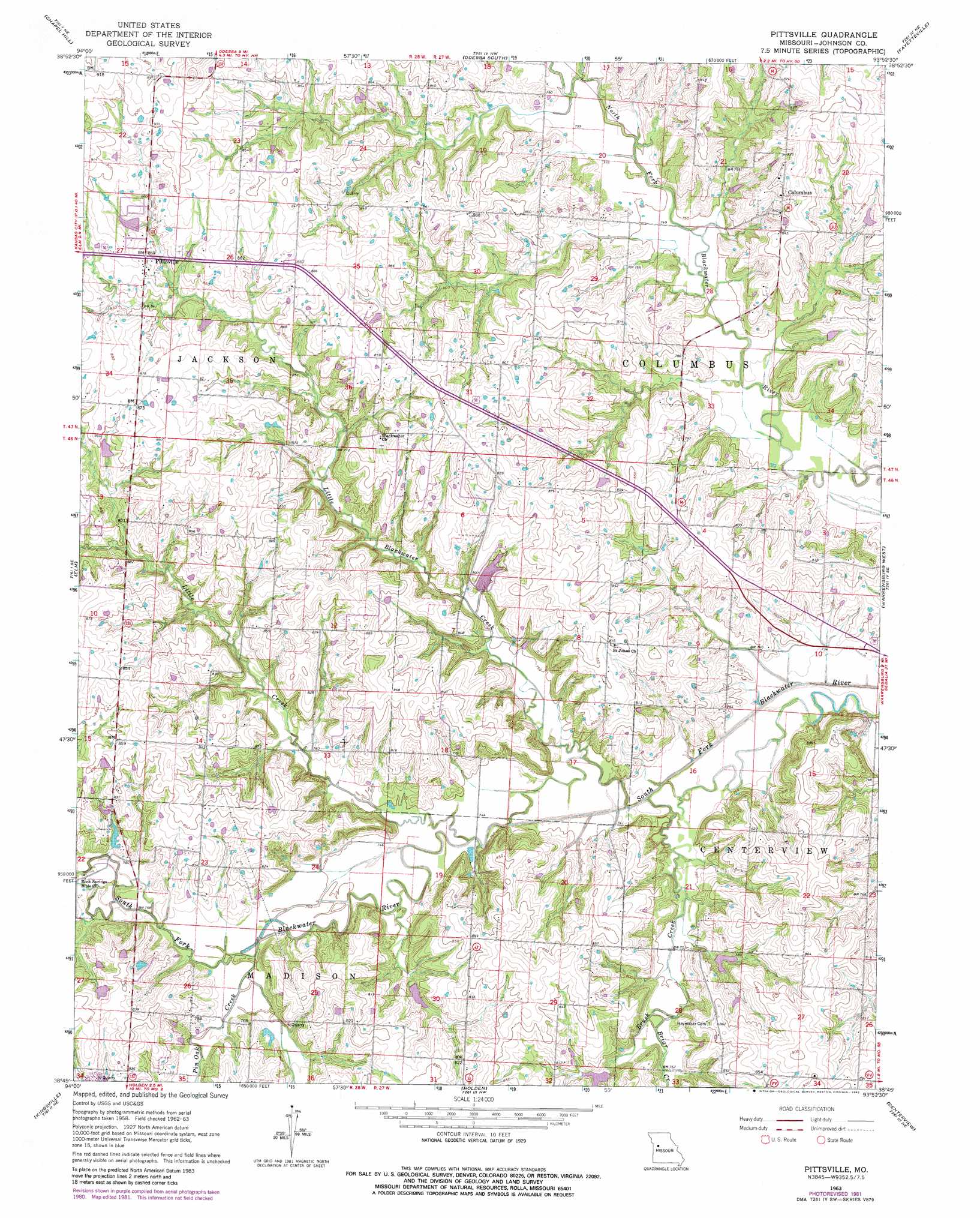
USGS Topo Quad 38093g8 - 1:24,000 scale
| Topo Map Name: | Pittsville |
| USGS Topo Quad ID: | 38093g8 |
| Print Size: | ca. 21 1/4" wide x 27" high |
| Southeast Coordinates: | 38.75° N latitude / 93.875° W longitude |
| Map Center Coordinates: | 38.8125° N latitude / 93.9375° W longitude |
| U.S. State: | MO |
| Filename: | o38093g8.jpg |
| Download Map JPG Image: | Pittsville topo map 1:24,000 scale |
| Map Type: | Topographic |
| Topo Series: | 7.5´ |
| Map Scale: | 1:24,000 |
| Source of Map Images: | United States Geological Survey (USGS) |
| Alternate Map Versions: |
Pittsville MO 1963, updated 1964 Download PDF Buy paper map Pittsville MO 1963, updated 1981 Download PDF Buy paper map Pittsville MO 2011 Download PDF Buy paper map Pittsville MO 2014 Download PDF Buy paper map |
1:24,000 Topo Quads surrounding Pittsville
Oak Grove |
Bates City |
Odessa North |
Mayview |
Higginsville |
Tarsney Lakes |
Chapel Hill |
Odessa South |
Fayetteville |
Knob Noster Nw |
Strasburg |
Elm |
Pittsville |
Warrensburg West |
Warrensburg East |
East Lynne |
Kingsville |
Holden |
Centerview |
Cornelia |
Garden City |
Quick City |
Blairstown |
Chilhowee |
Leeton |
> Back to 38093e1 at 1:100,000 scale
> Back to 38092a1 at 1:250,000 scale
> Back to U.S. Topo Maps home
Pittsville topo map: Gazetteer
Pittsville: Dams
Gann Lake Dam elevation 237m 777′Heiman Lake Dam elevation 262m 859′
South Fork Blackwater River Watershed Dam F-2 elevation 234m 767′
Pittsville: Populated Places
Columbus elevation 256m 839′Pittsville elevation 262m 859′
Pittsville: Post Offices
Dean Post Office (historical) elevation 261m 856′Pittsville: Streams
Briar Creek elevation 229m 751′Brush Creek elevation 217m 711′
Little Blackwater Creek elevation 218m 715′
Little Creek elevation 223m 731′
Pin Oak Creek elevation 226m 741′
Pittsville digital topo map on disk
Buy this Pittsville topo map showing relief, roads, GPS coordinates and other geographical features, as a high-resolution digital map file on DVD: