Langley Topo Map Kansas
To zoom in, hover over the map of Langley
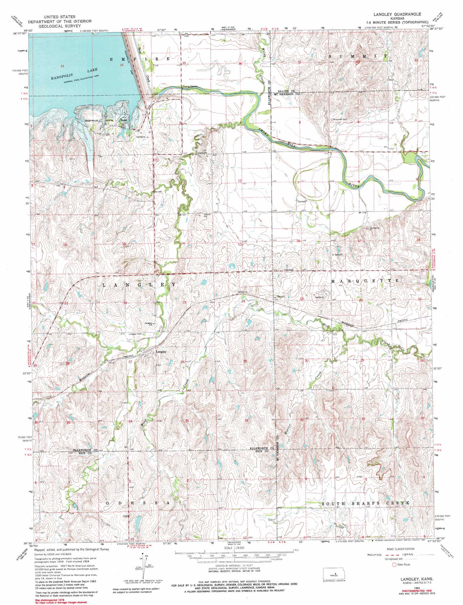
USGS Topo Quad 38097e8 - 1:24,000 scale
| Topo Map Name: | Langley |
| USGS Topo Quad ID: | 38097e8 |
| Print Size: | ca. 21 1/4" wide x 27" high |
| Southeast Coordinates: | 38.5° N latitude / 97.875° W longitude |
| Map Center Coordinates: | 38.5625° N latitude / 97.9375° W longitude |
| U.S. State: | KS |
| Filename: | o38097e8.jpg |
| Download Map JPG Image: | Langley topo map 1:24,000 scale |
| Map Type: | Topographic |
| Topo Series: | 7.5´ |
| Map Scale: | 1:24,000 |
| Source of Map Images: | United States Geological Survey (USGS) |
| Alternate Map Versions: |
Langley KS 1964, updated 1965 Download PDF Buy paper map Langley KS 1964, updated 1983 Download PDF Buy paper map Langley KS 2009 Download PDF Buy paper map Langley KS 2012 Download PDF Buy paper map Langley KS 2015 Download PDF Buy paper map |
1:24,000 Topo Quads surrounding Langley
Westfall Sw |
Westfall Se |
Brookville Sw |
Brookville |
Salina Sw |
Ellsworth |
Carneiro |
Venango |
Falun |
Smolan |
Geneseo |
Crawford |
Langley |
Marquette |
Lindsborg |
Lyons Nw |
Little River |
Windom |
Windom Ne |
Mcpherson North |
Lyons |
Lyons Se |
Windom Sw |
Conway |
Mcpherson South |
> Back to 38097e1 at 1:100,000 scale
> Back to 38096a1 at 1:250,000 scale
> Back to U.S. Topo Maps home
Langley topo map: Gazetteer
Langley: Dams
Kanopolis Dam elevation 445m 1459′Langley: Parks
Kanopolis State Park elevation 459m 1505′Langley: Populated Places
Langley elevation 463m 1519′Langley: Reservoirs
Kanopolis Lake elevation 445m 1459′Langley: Streams
Hoover Creek elevation 432m 1417′Sand Creek elevation 429m 1407′
Wiley Creek elevation 430m 1410′
Langley digital topo map on disk
Buy this Langley topo map showing relief, roads, GPS coordinates and other geographical features, as a high-resolution digital map file on DVD: