Navarre Topo Map Kansas
To zoom in, hover over the map of Navarre
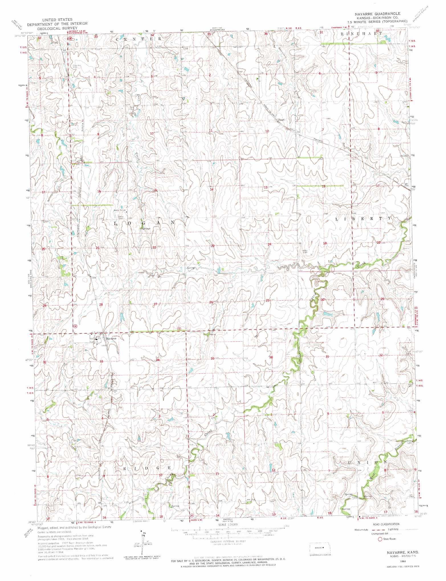
USGS Topo Quad 38097g1 - 1:24,000 scale
| Topo Map Name: | Navarre |
| USGS Topo Quad ID: | 38097g1 |
| Print Size: | ca. 21 1/4" wide x 27" high |
| Southeast Coordinates: | 38.75° N latitude / 97° W longitude |
| Map Center Coordinates: | 38.8125° N latitude / 97.0625° W longitude |
| U.S. State: | KS |
| Filename: | o38097g1.jpg |
| Download Map JPG Image: | Navarre topo map 1:24,000 scale |
| Map Type: | Topographic |
| Topo Series: | 7.5´ |
| Map Scale: | 1:24,000 |
| Source of Map Images: | United States Geological Survey (USGS) |
| Alternate Map Versions: |
Navarre KS 1964, updated 1965 Download PDF Buy paper map Navarre KS 2009 Download PDF Buy paper map Navarre KS 2012 Download PDF Buy paper map Navarre KS 2015 Download PDF Buy paper map |
1:24,000 Topo Quads surrounding Navarre
Manchester |
Buckeye |
Upland |
Milford Dam |
Junction City |
Solomon |
Abilene |
Chapman |
Kansas Falls |
Wreford |
Holland |
Abilene Sw |
Navarre |
Woodbine |
Skiddy |
Carlton |
Elmo |
Hope |
Herington |
Delavan |
Gypsum Se |
Tampa |
Ramona |
Lost Springs |
Burdick |
> Back to 38097e1 at 1:100,000 scale
> Back to 38096a1 at 1:250,000 scale
> Back to U.S. Topo Maps home
Navarre digital topo map on disk
Buy this Navarre topo map showing relief, roads, GPS coordinates and other geographical features, as a high-resolution digital map file on DVD: