Cheyenne Wells 4 Se Topo Map Colorado
To zoom in, hover over the map of Cheyenne Wells 4 Se
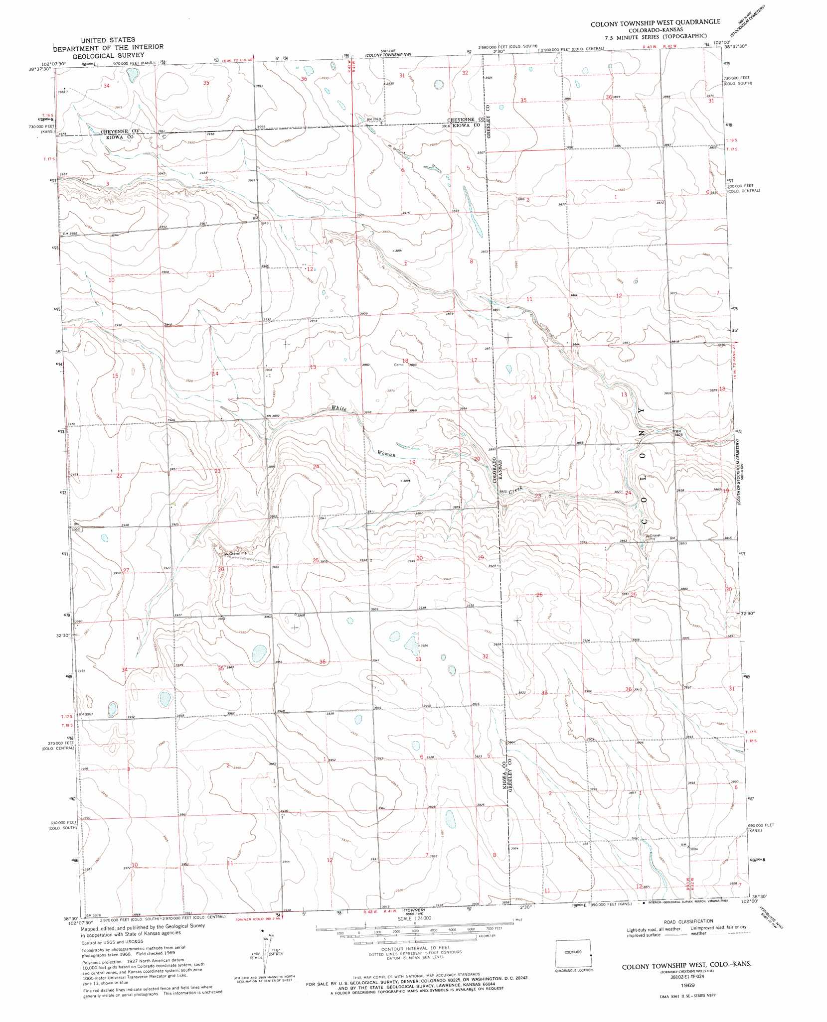
USGS Topo Quad 38102e1 - 1:24,000 scale
| Topo Map Name: | Cheyenne Wells 4 Se |
| USGS Topo Quad ID: | 38102e1 |
| Print Size: | ca. 21 1/4" wide x 27" high |
| Southeast Coordinates: | 38.5° N latitude / 102° W longitude |
| Map Center Coordinates: | 38.5625° N latitude / 102.0625° W longitude |
| U.S. States: | CO, KS |
| Filename: | o38102e1.jpg |
| Download Map JPG Image: | Cheyenne Wells 4 Se topo map 1:24,000 scale |
| Map Type: | Topographic |
| Topo Series: | 7.5´ |
| Map Scale: | 1:24,000 |
| Source of Map Images: | United States Geological Survey (USGS) |
| Alternate Map Versions: |
Cheyenne Wells 4 SE KS 1969, updated 1971 Download PDF Buy paper map Colony Township West KS 1969, updated 1993 Download PDF Buy paper map Colony Township West KS 1969, updated 1997 Download PDF Buy paper map Colony Township West KS 2010 Download PDF Buy paper map Colony Township West KS 2012 Download PDF Buy paper map Colony Township West KS 2016 Download PDF Buy paper map |
1:24,000 Topo Quads surrounding Cheyenne Wells 4 Se
Cheyenne Wells |
Arapahoe |
Arapahoe Se |
Weskan |
Spring Valley Ranch |
Cheyenne Wells 3 Ne |
Lake Albert Nw |
Cheyenne Wells 4 Ne |
Sharon Springs 3 Nw |
Sharon Springs 3 Ne |
Cheyenne Wells 3 Se |
Lake Albert |
Cheyenne Wells 4 Se |
Sharon Springs 3 Sw |
Sharon Springs 3 Se |
Sheridan Lake |
Stuart |
Towner |
Tribune Nw |
Tribune |
Sheridan Lake Se |
Lake Devore |
Towner Se |
Tribune Sw |
Tribune Se |
> Back to 38102e1 at 1:100,000 scale
> Back to 38102a1 at 1:250,000 scale
> Back to U.S. Topo Maps home
Cheyenne Wells 4 Se topo map: Gazetteer
Cheyenne Wells 4 Se: Streams
South Fork White Woman Creek elevation 1157m 3795′White Woman Creek elevation 1193m 3914′
Cheyenne Wells 4 Se digital topo map on disk
Buy this Cheyenne Wells 4 Se topo map showing relief, roads, GPS coordinates and other geographical features, as a high-resolution digital map file on DVD: