Haswell Se Topo Map Colorado
To zoom in, hover over the map of Haswell Se
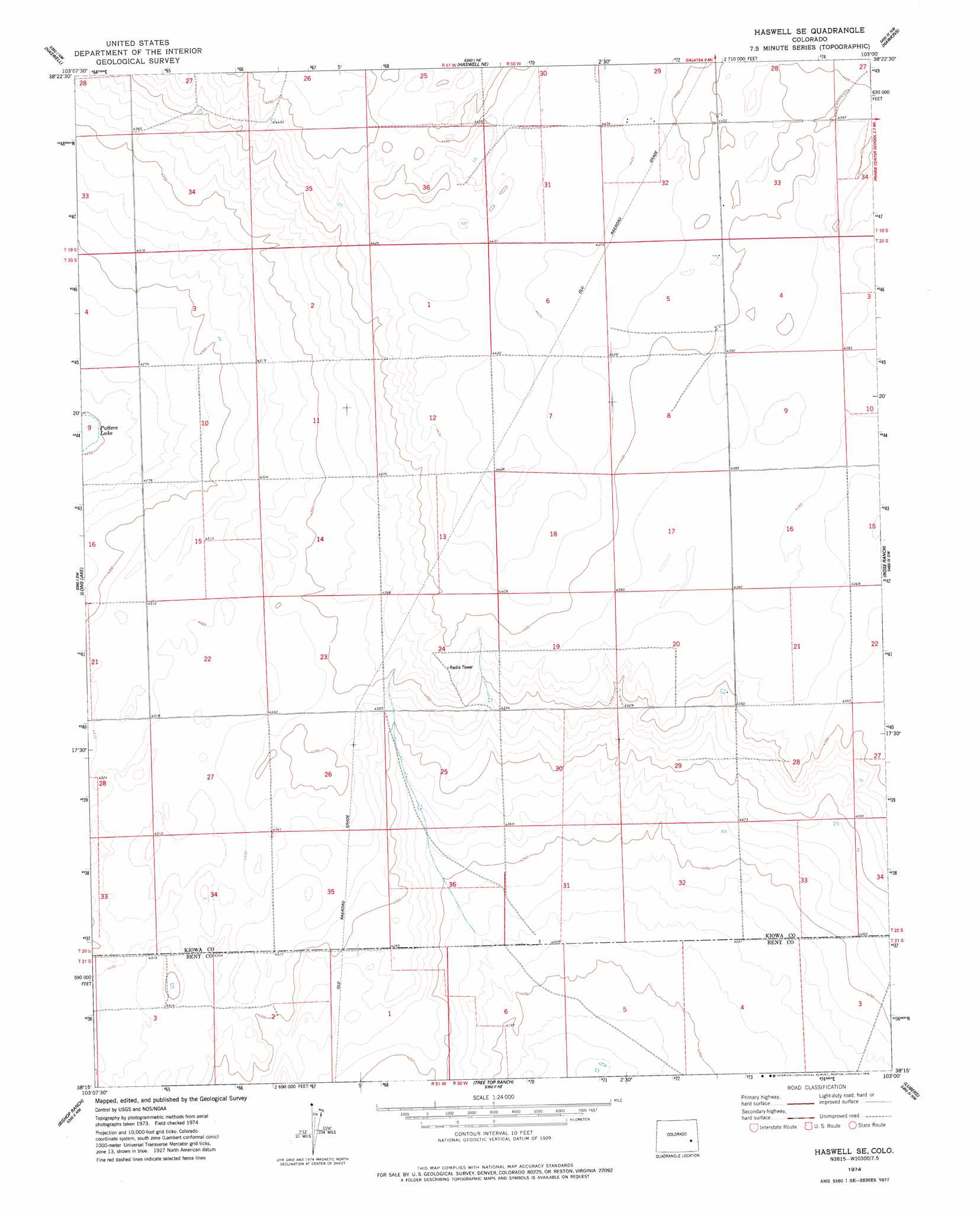
USGS Topo Quad 38103c1 - 1:24,000 scale
| Topo Map Name: | Haswell Se |
| USGS Topo Quad ID: | 38103c1 |
| Print Size: | ca. 21 1/4" wide x 27" high |
| Southeast Coordinates: | 38.25° N latitude / 103° W longitude |
| Map Center Coordinates: | 38.3125° N latitude / 103.0625° W longitude |
| U.S. State: | CO |
| Filename: | o38103c1.jpg |
| Download Map JPG Image: | Haswell Se topo map 1:24,000 scale |
| Map Type: | Topographic |
| Topo Series: | 7.5´ |
| Map Scale: | 1:24,000 |
| Source of Map Images: | United States Geological Survey (USGS) |
| Alternate Map Versions: |
Haswell SE CO 1974, updated 1978 Download PDF Buy paper map Haswell SE CO 2010 Download PDF Buy paper map Haswell SE CO 2013 Download PDF Buy paper map Haswell SE CO 2016 Download PDF Buy paper map |
1:24,000 Topo Quads surrounding Haswell Se
Bluff Spring |
Galatea Sw |
Galatea |
Arsenic Lake Sw |
Dunlap Ranch |
Arlington Ne |
Haswell |
Haswell Ne |
Hawkins |
Eads |
Arlington |
Long Lake |
Haswell Se |
Rose Ranch |
Swede Lake |
Mcintosh Ranch |
Bishop Ranch |
Tree Top Ranch |
Lubers |
Mcclave |
Cornelia |
Las Animas |
Kreybill |
Hasty |
Prowers |
> Back to 38103a1 at 1:100,000 scale
> Back to 38102a1 at 1:250,000 scale
> Back to U.S. Topo Maps home
Haswell Se digital topo map on disk
Buy this Haswell Se topo map showing relief, roads, GPS coordinates and other geographical features, as a high-resolution digital map file on DVD: